I make maps as part of my day job, occasionally as a freelancer, and sometimes just for fun! If you are interested in hiring me to make a map, want prints of anything you see below, or just have any questions, please reach out out to me at jeff.allen@utoronto.ca.
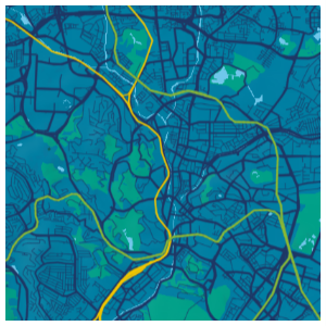
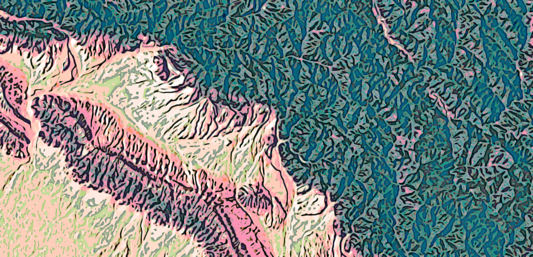
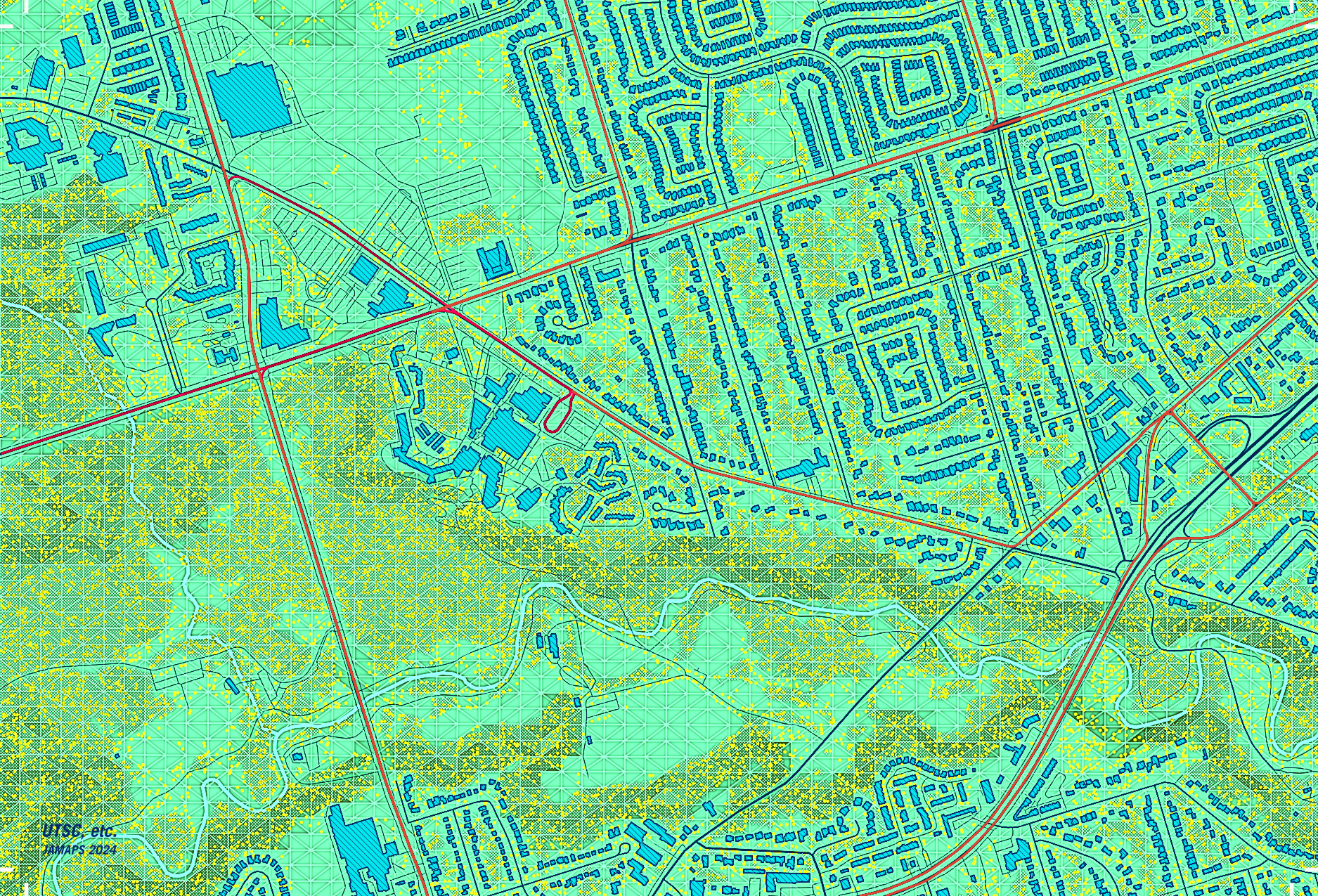
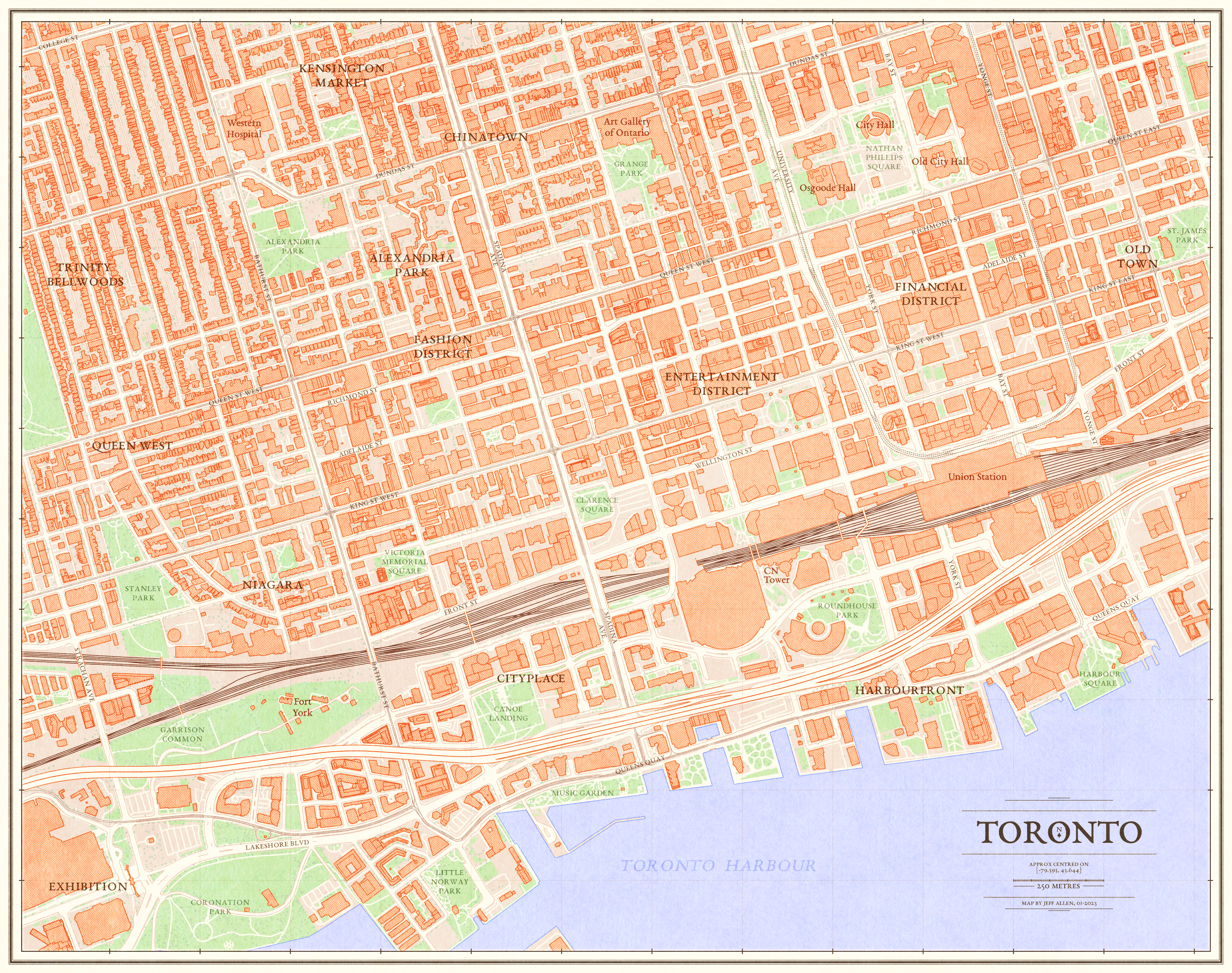
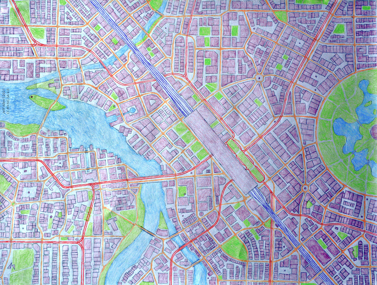
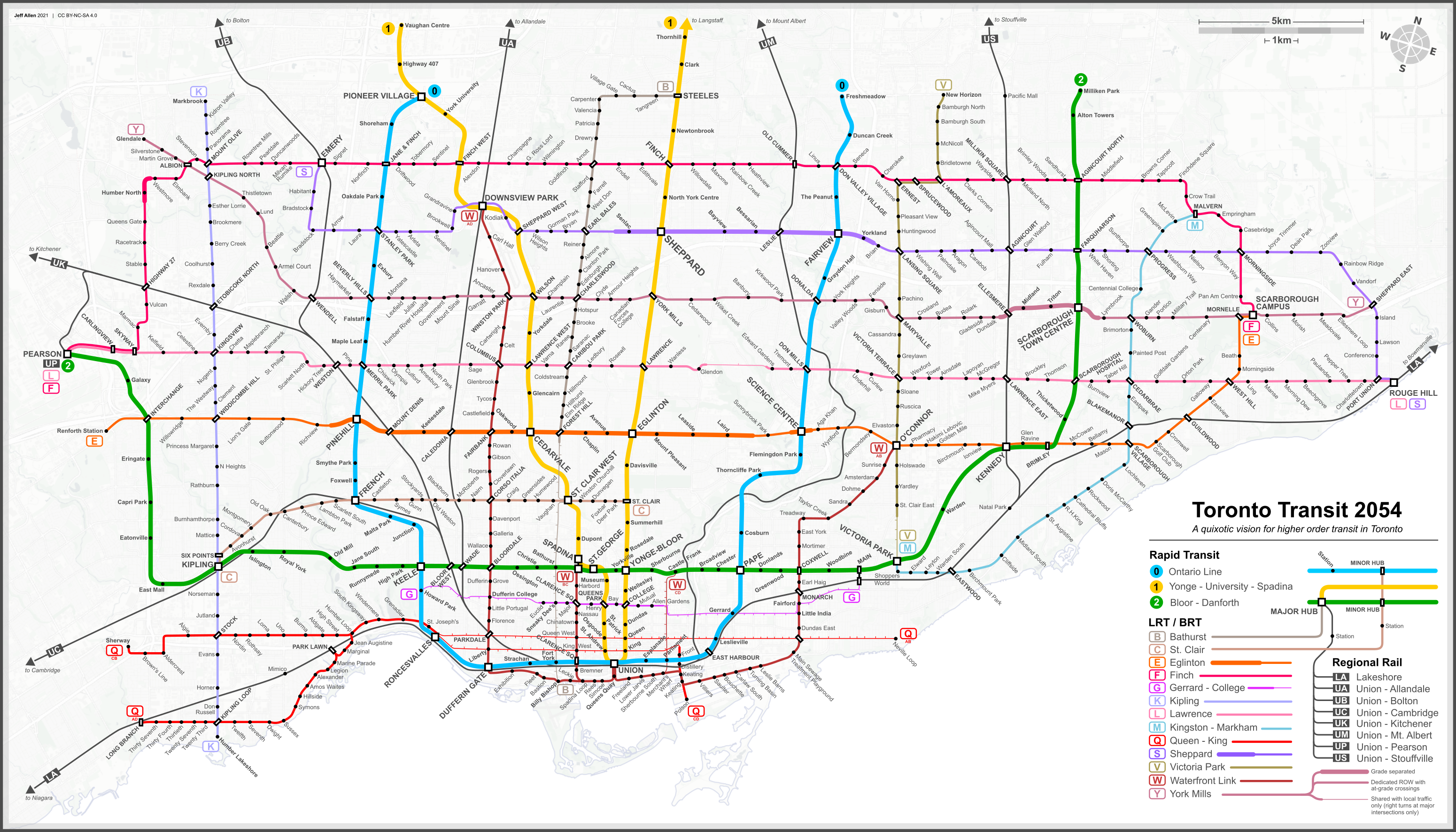
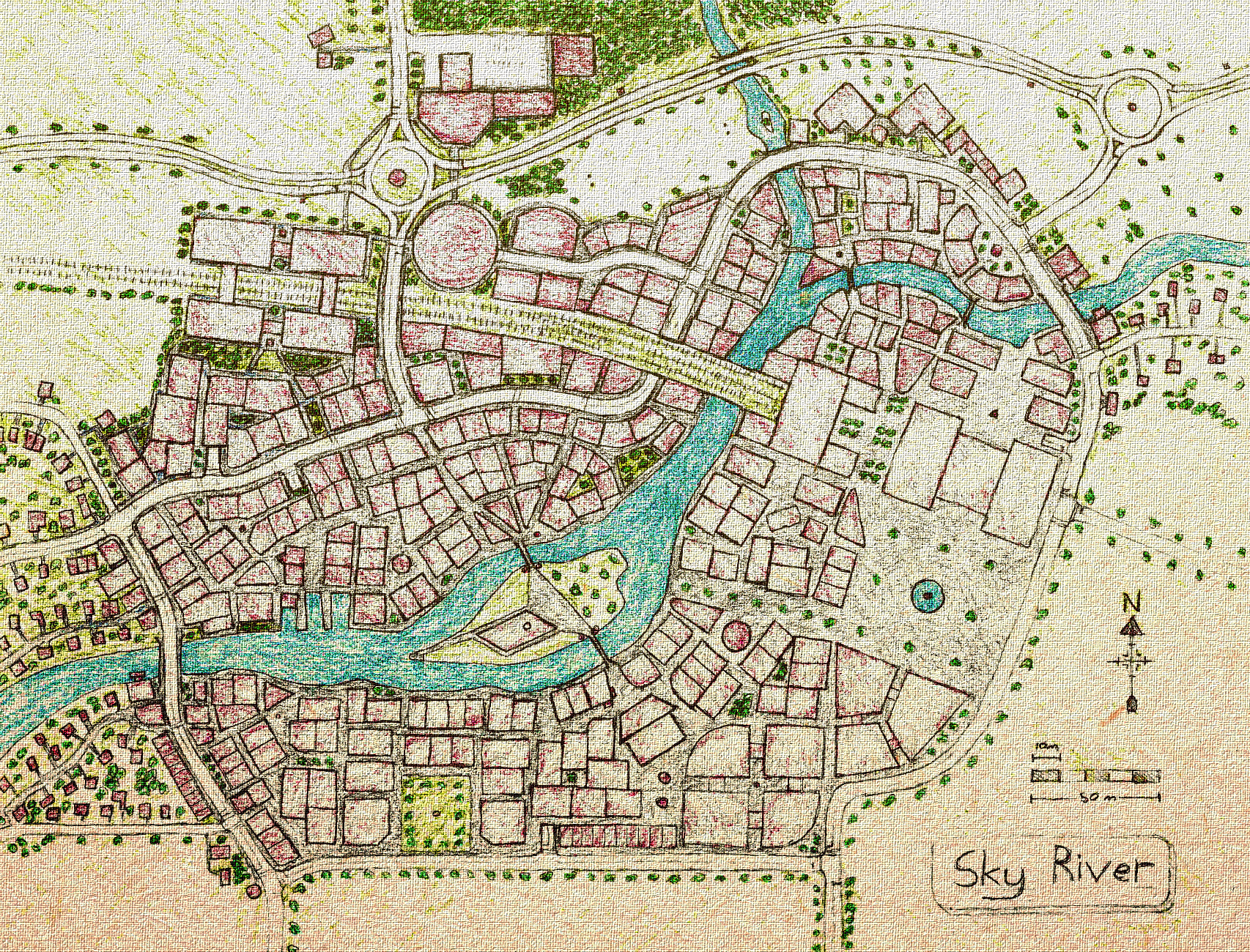
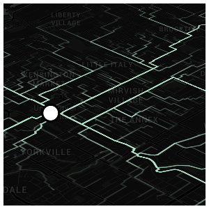
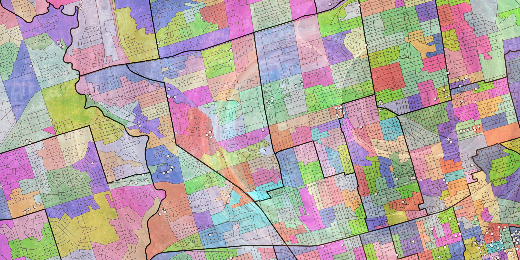
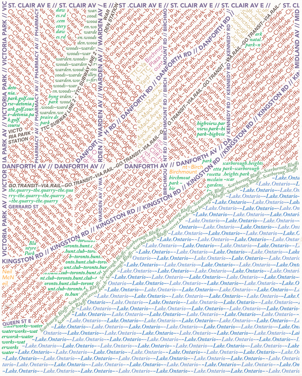
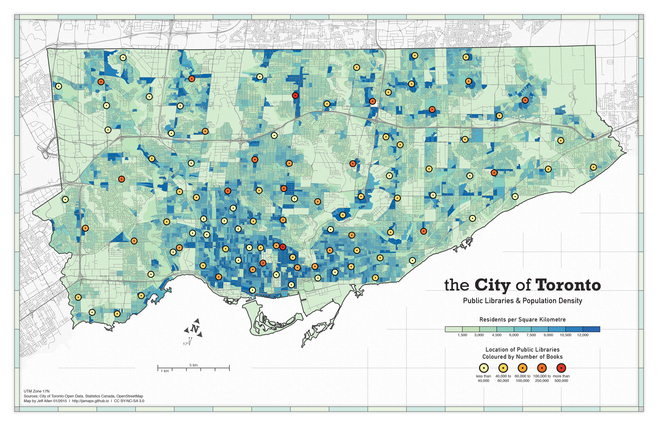
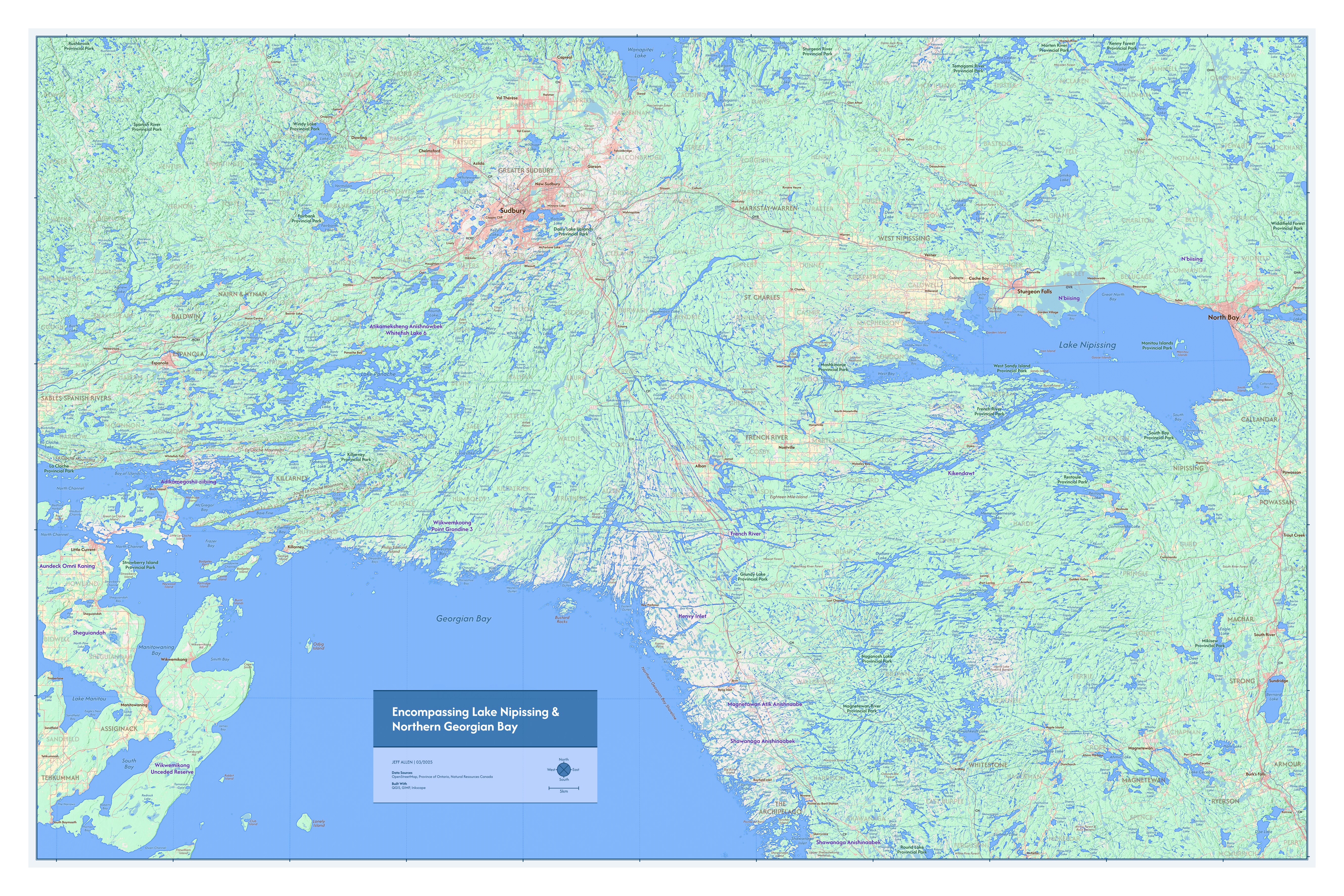
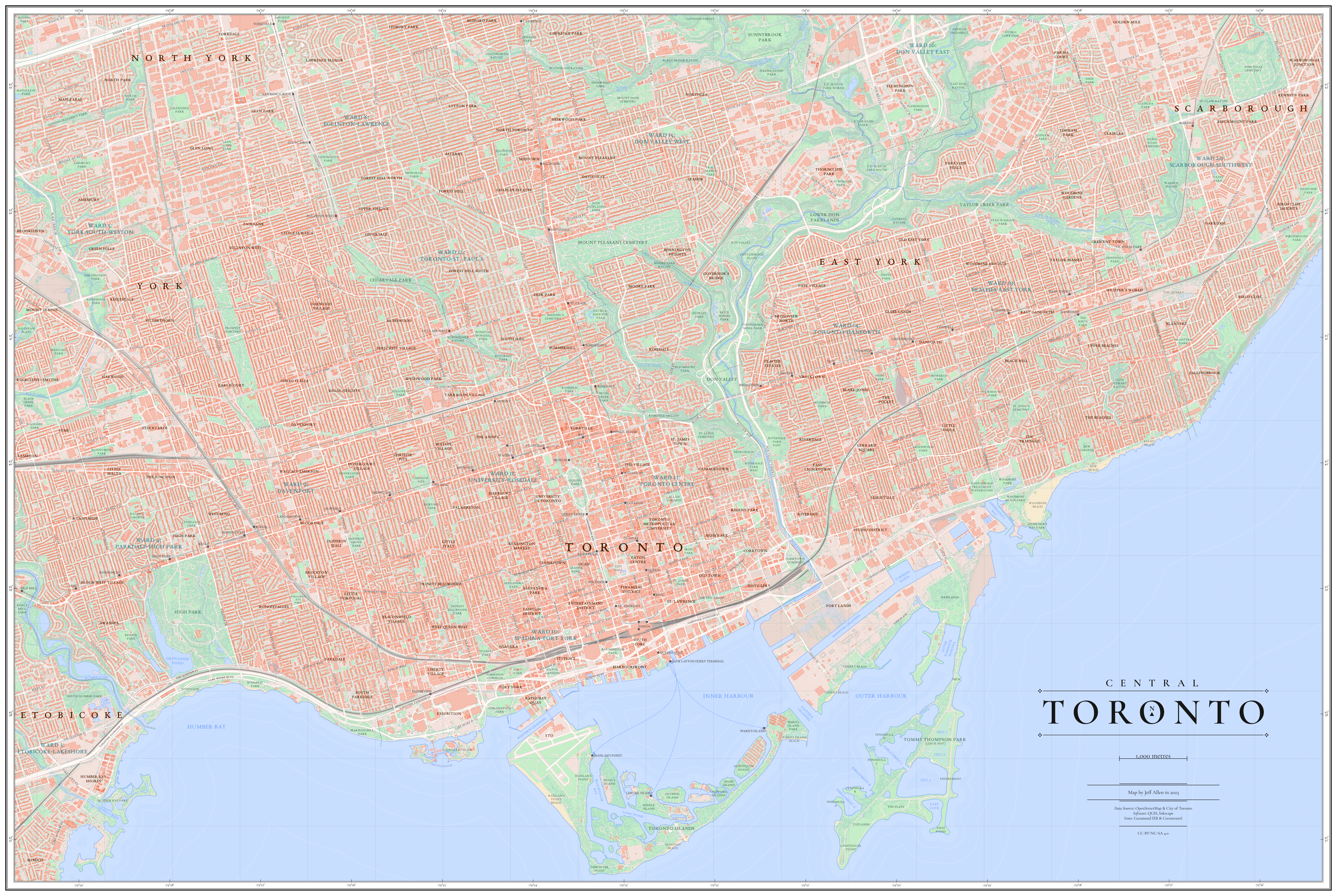
Over the past couple years or so I've created two relatively large wall maps of places that are meaningful to me — one of Central Toronto and the other encompassing Lake Nipissing and Northern Georgian Bay. Each is about 60cm x 90cm in size. Click on the images below to view at a higher resolution.
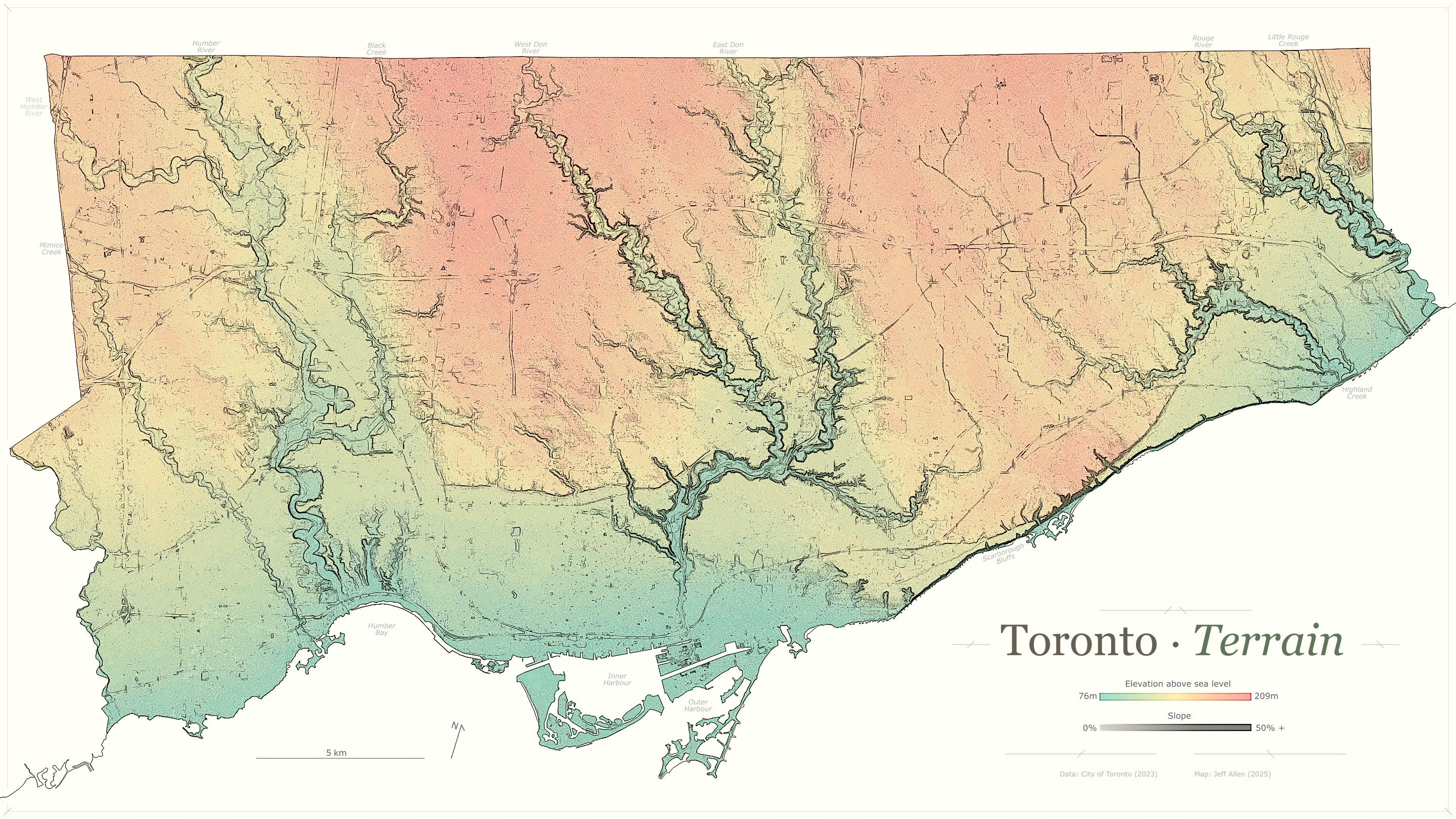
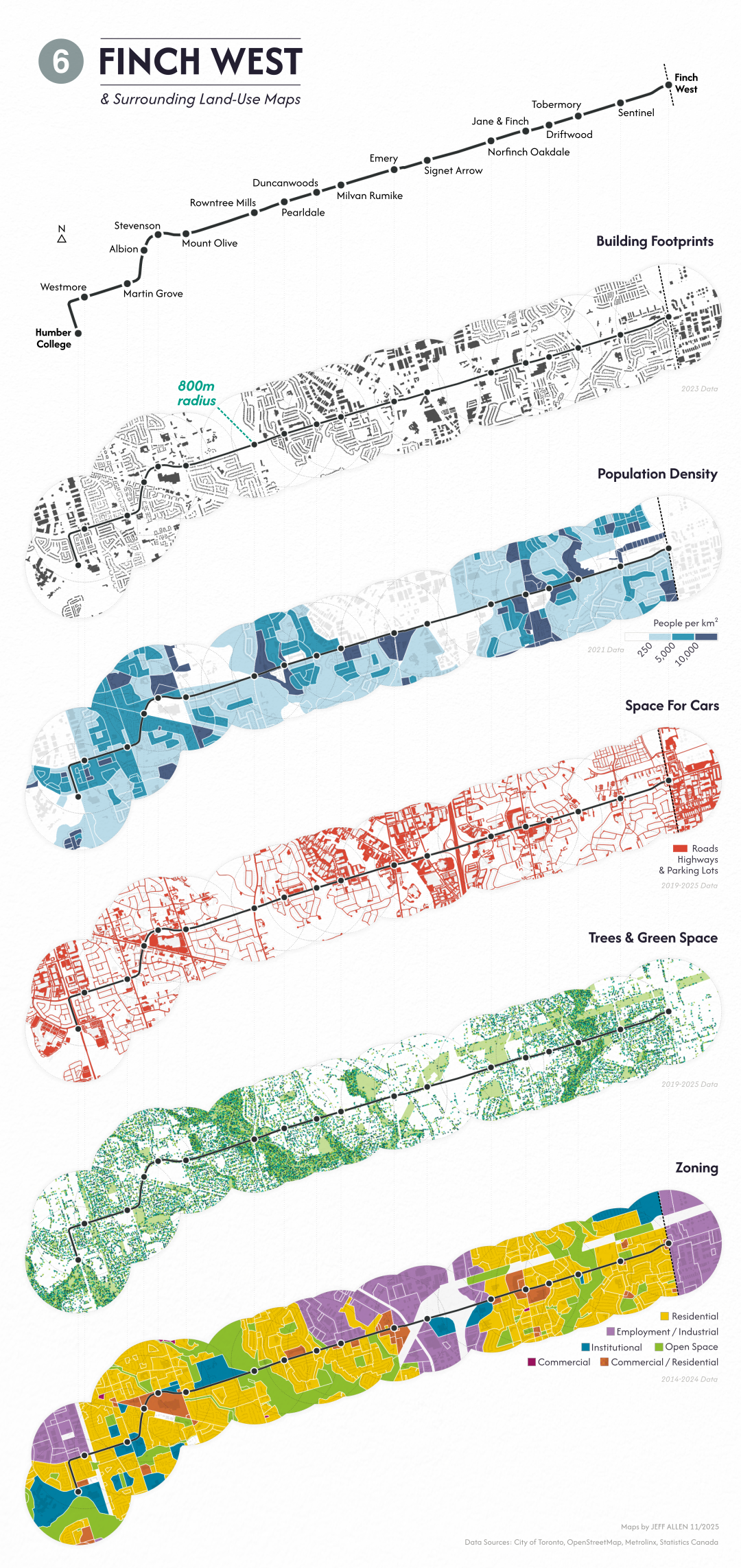
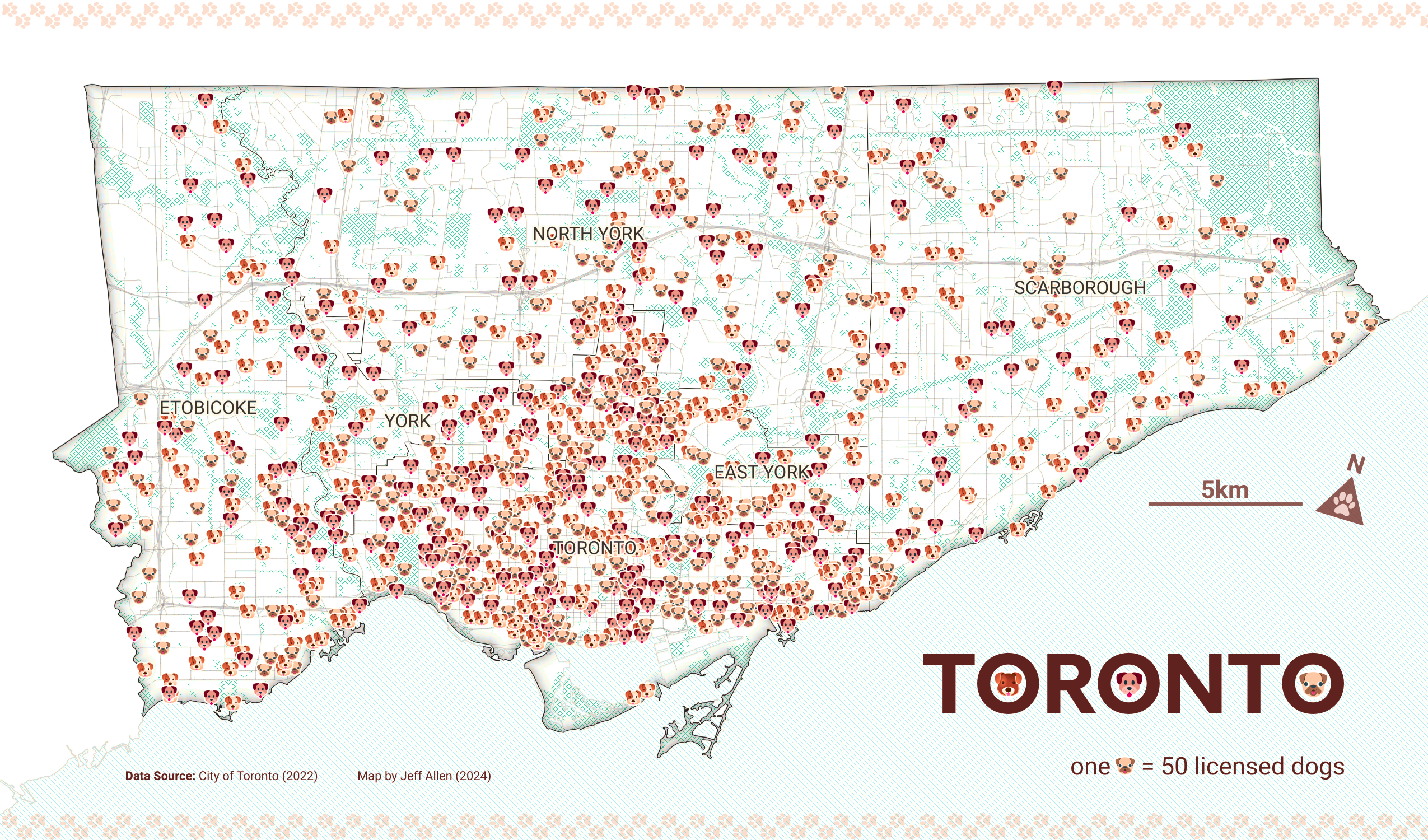
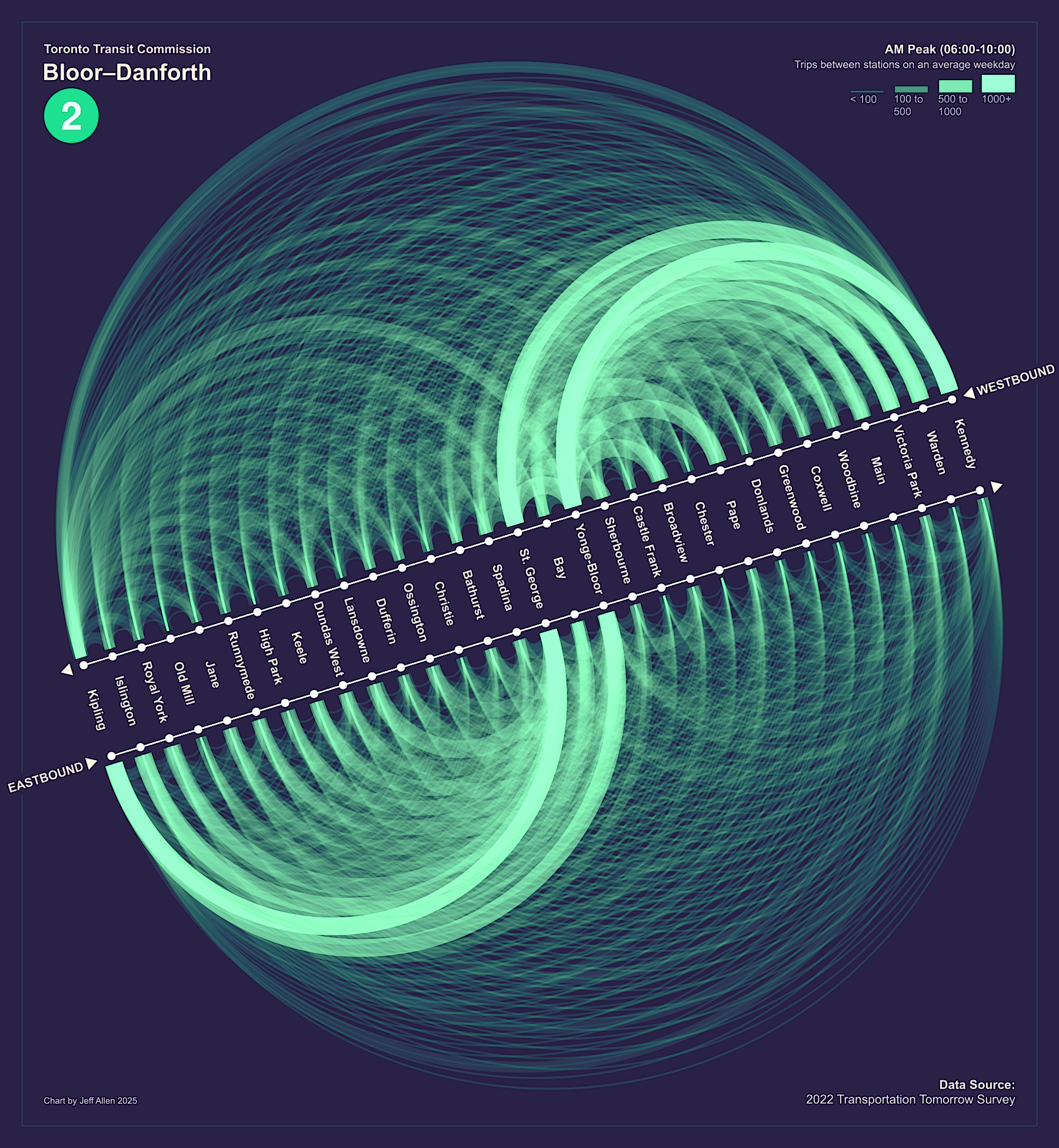
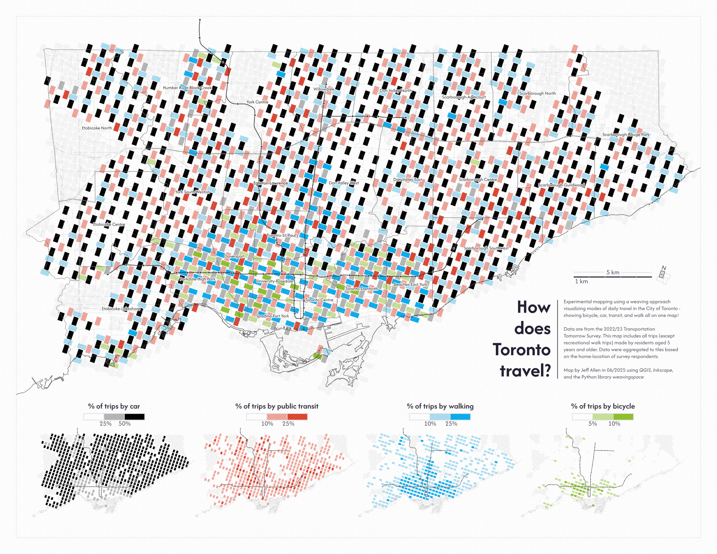
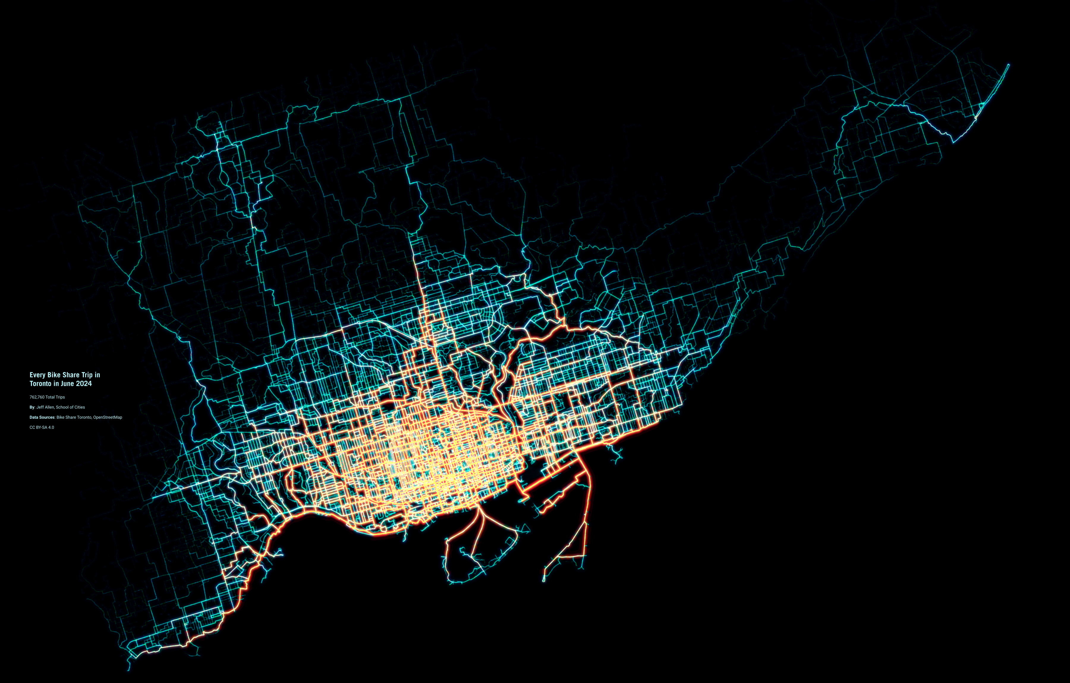
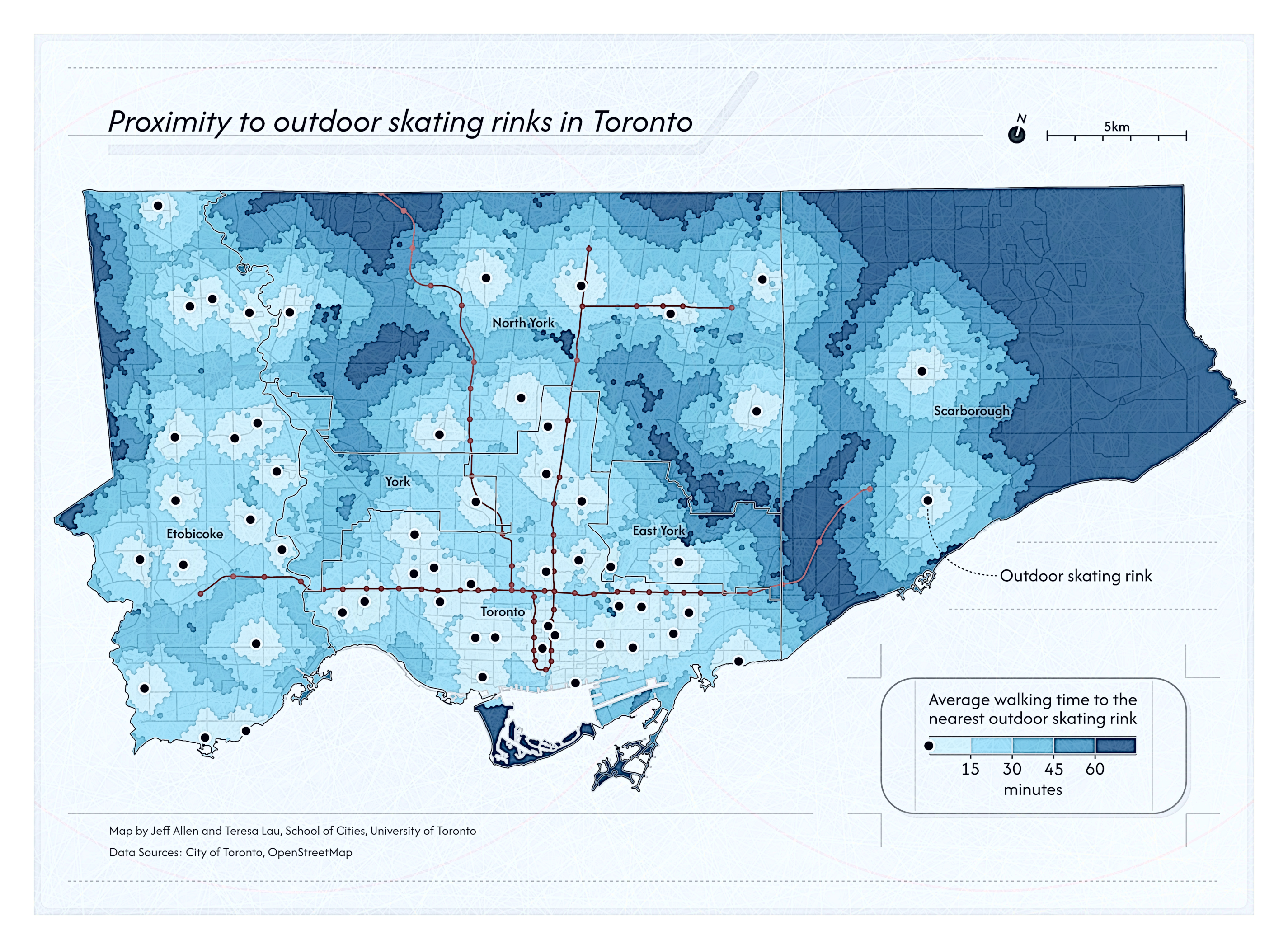
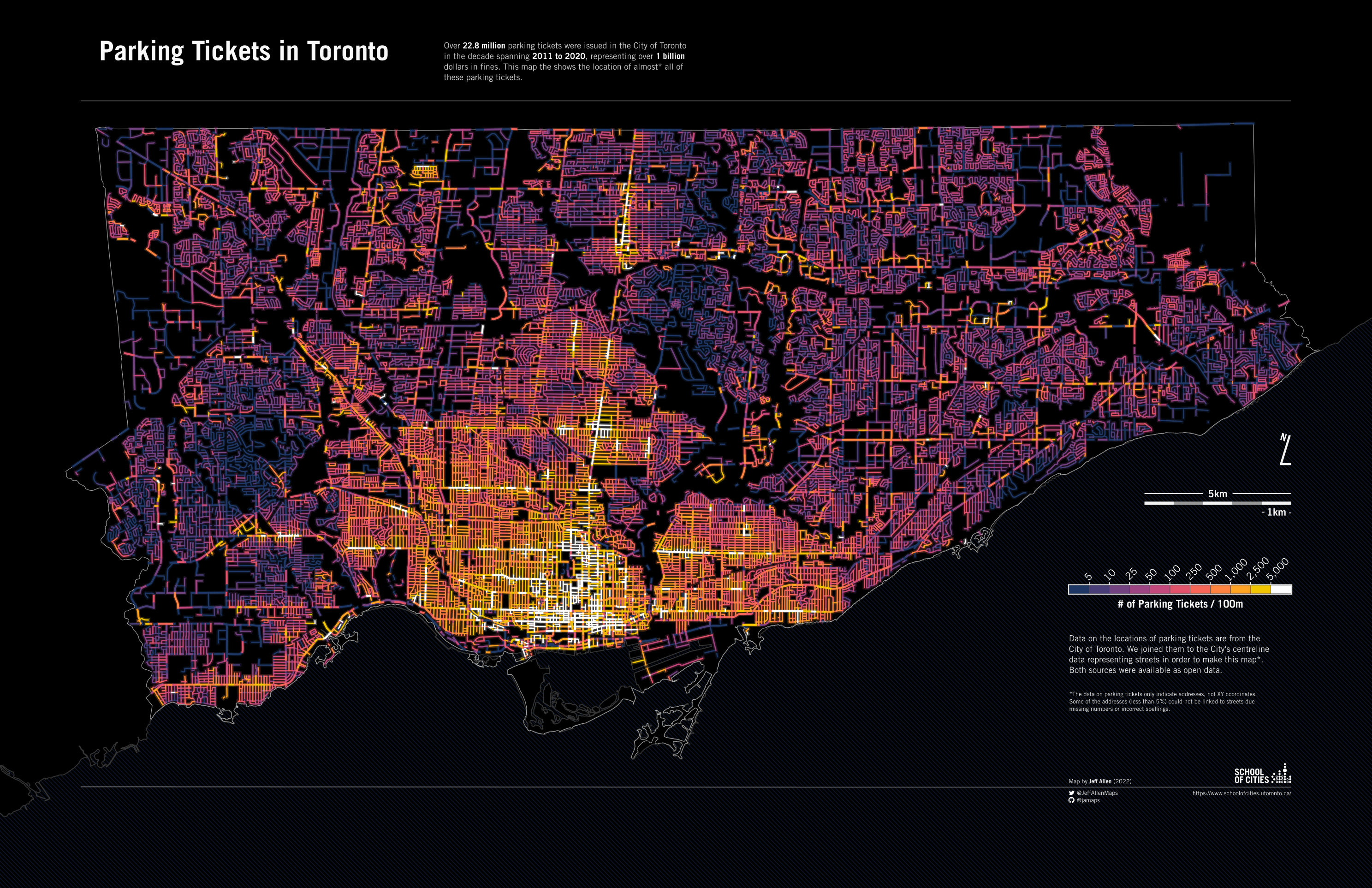
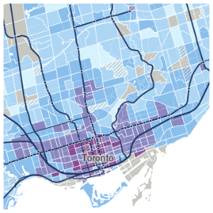
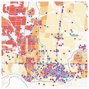
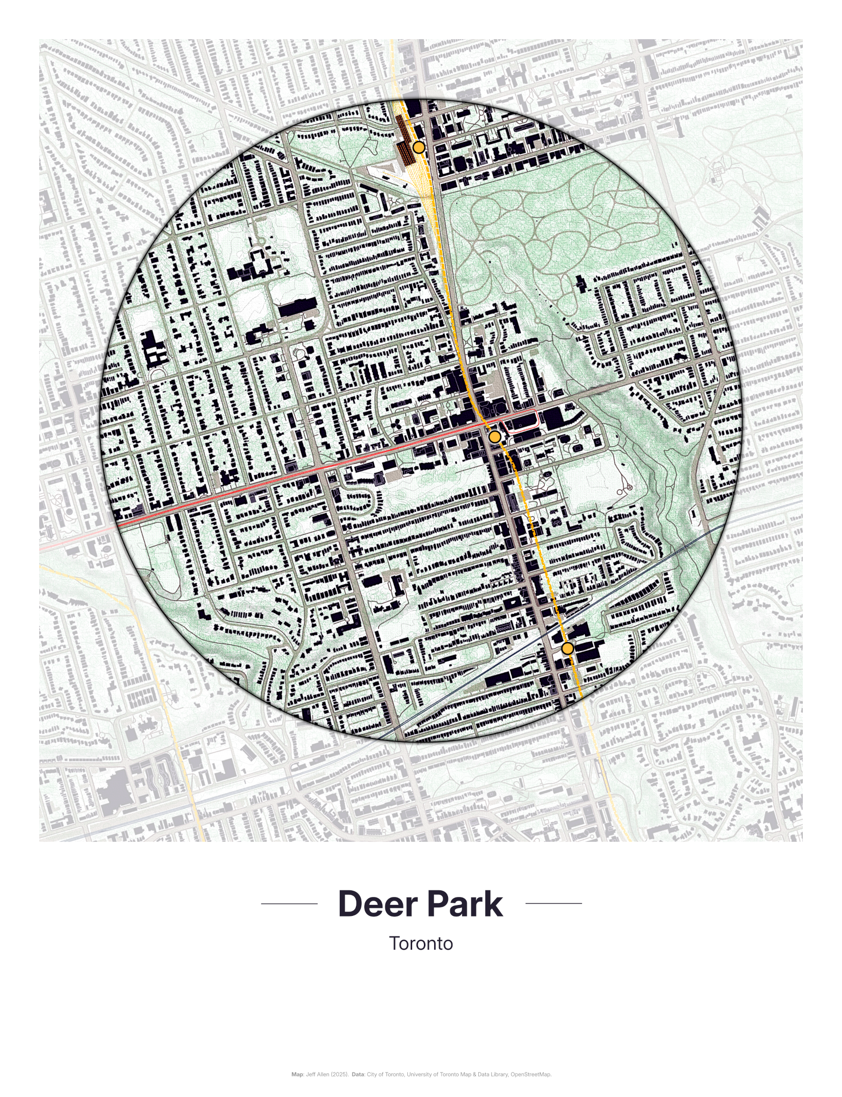
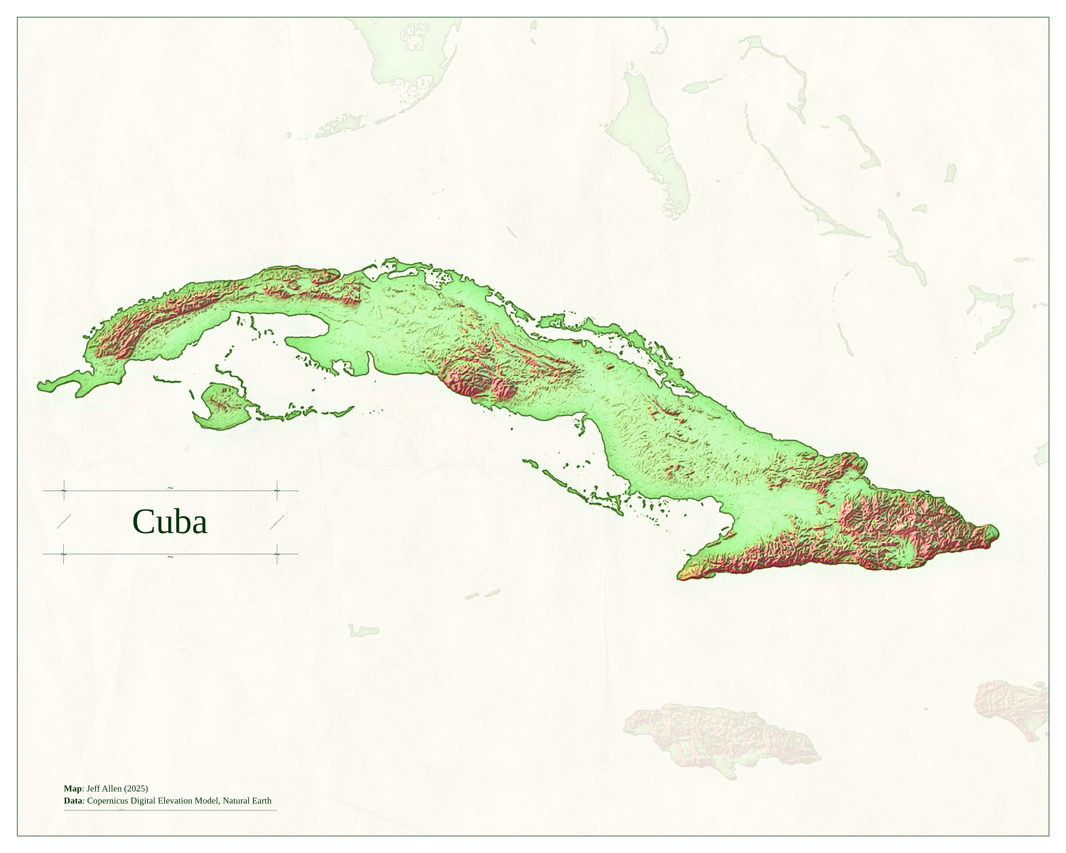
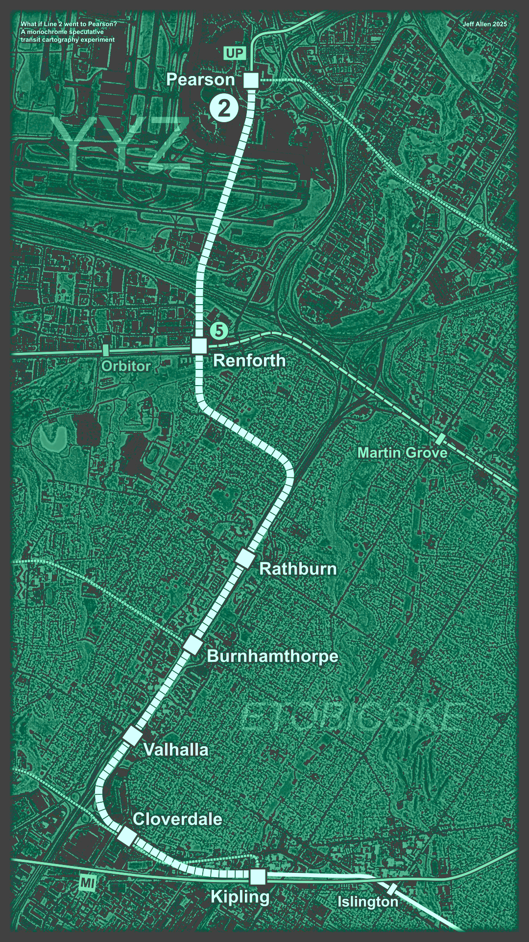
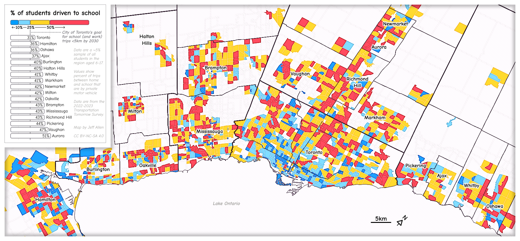
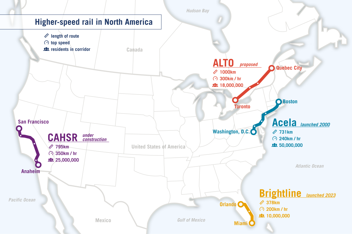
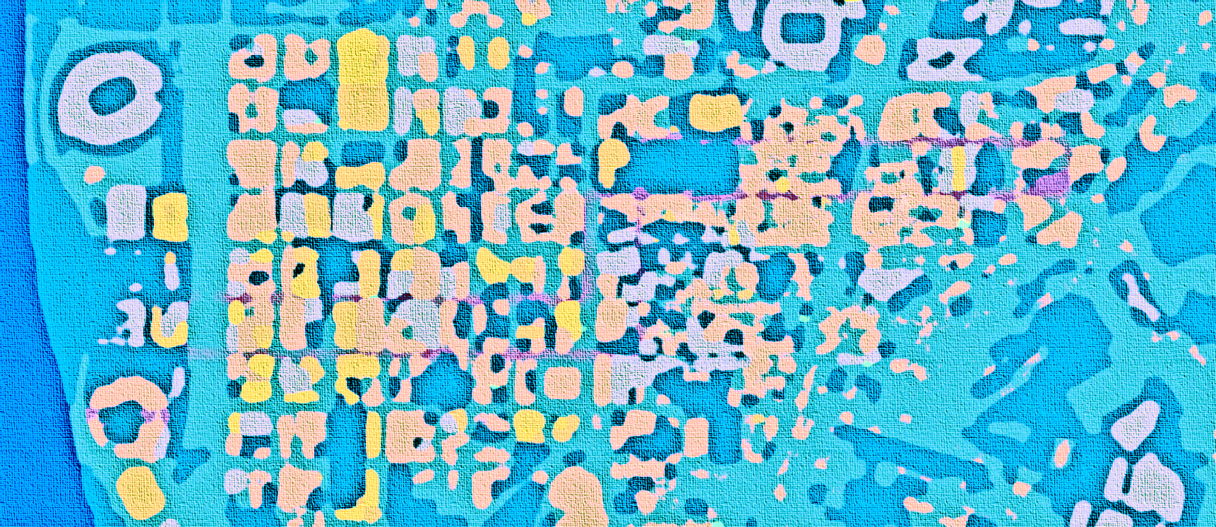
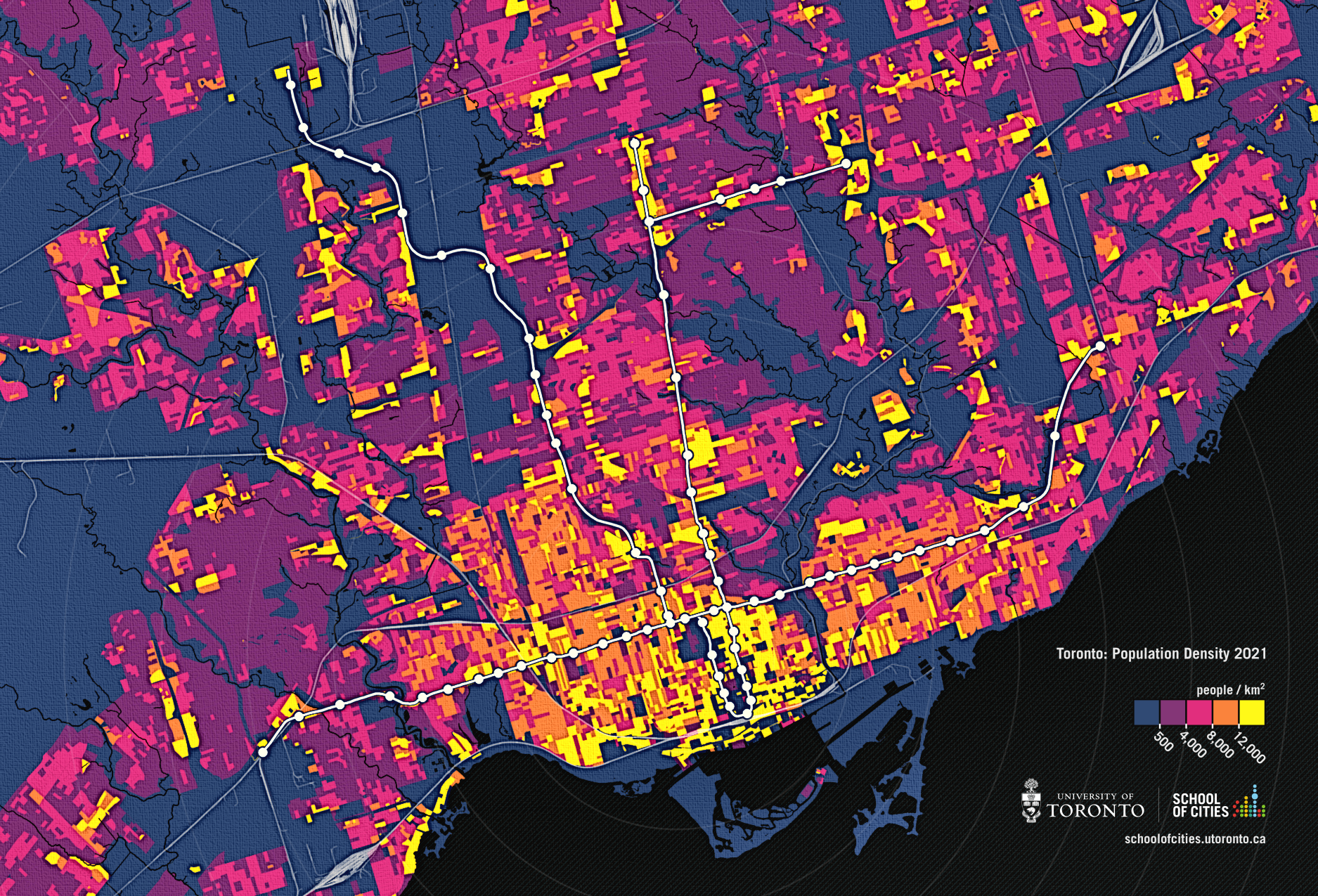
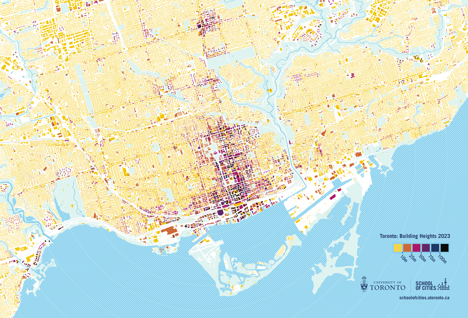
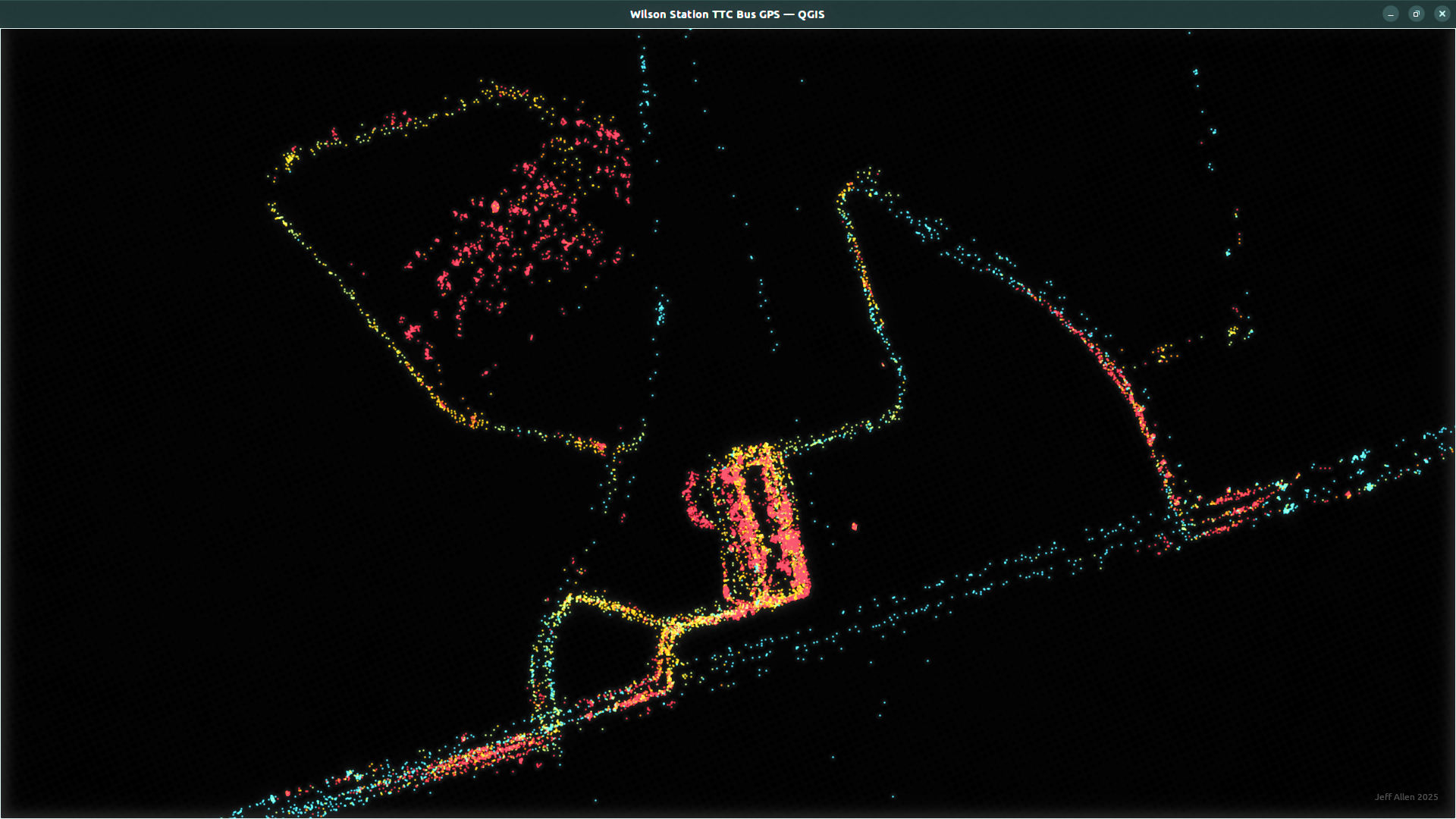
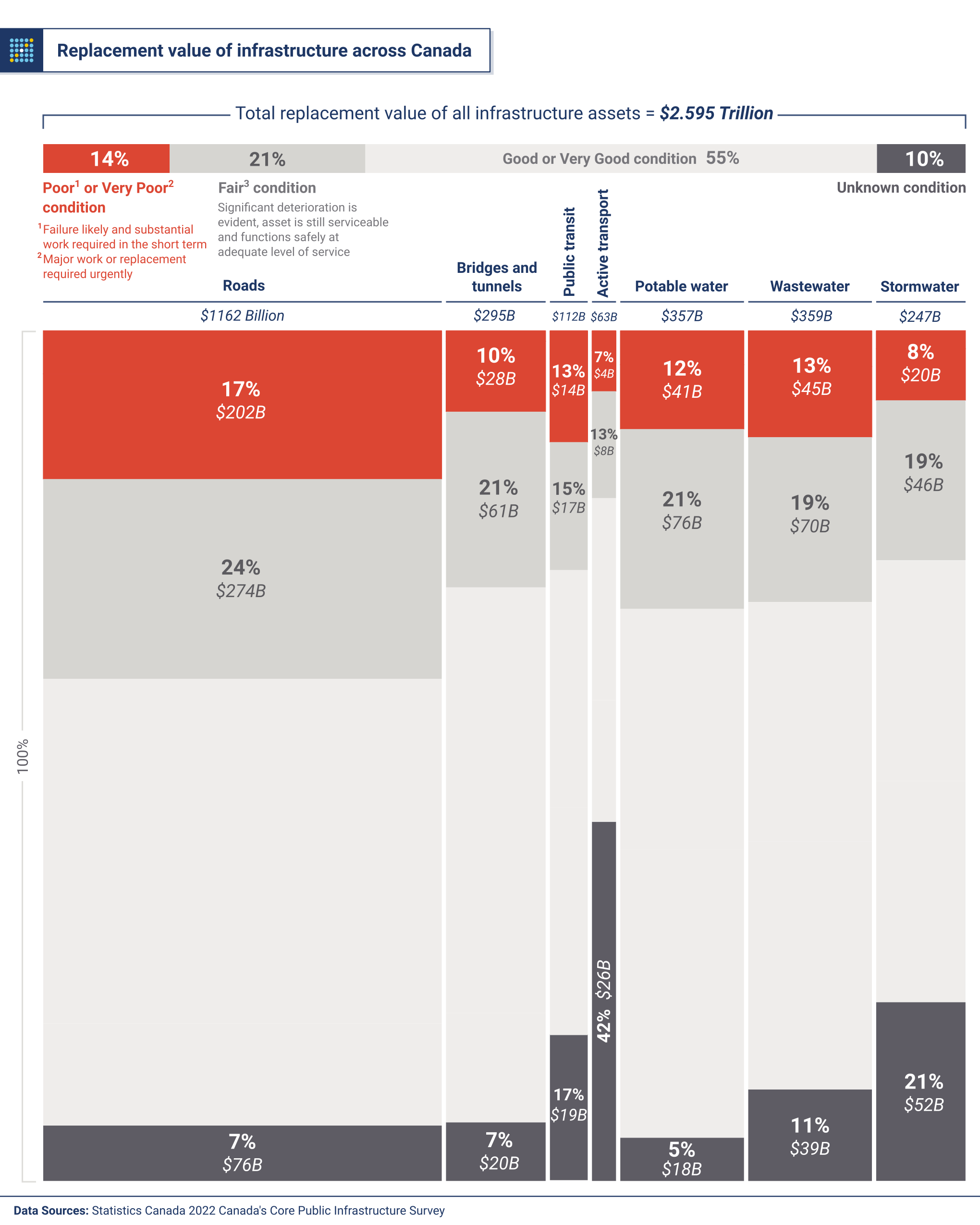
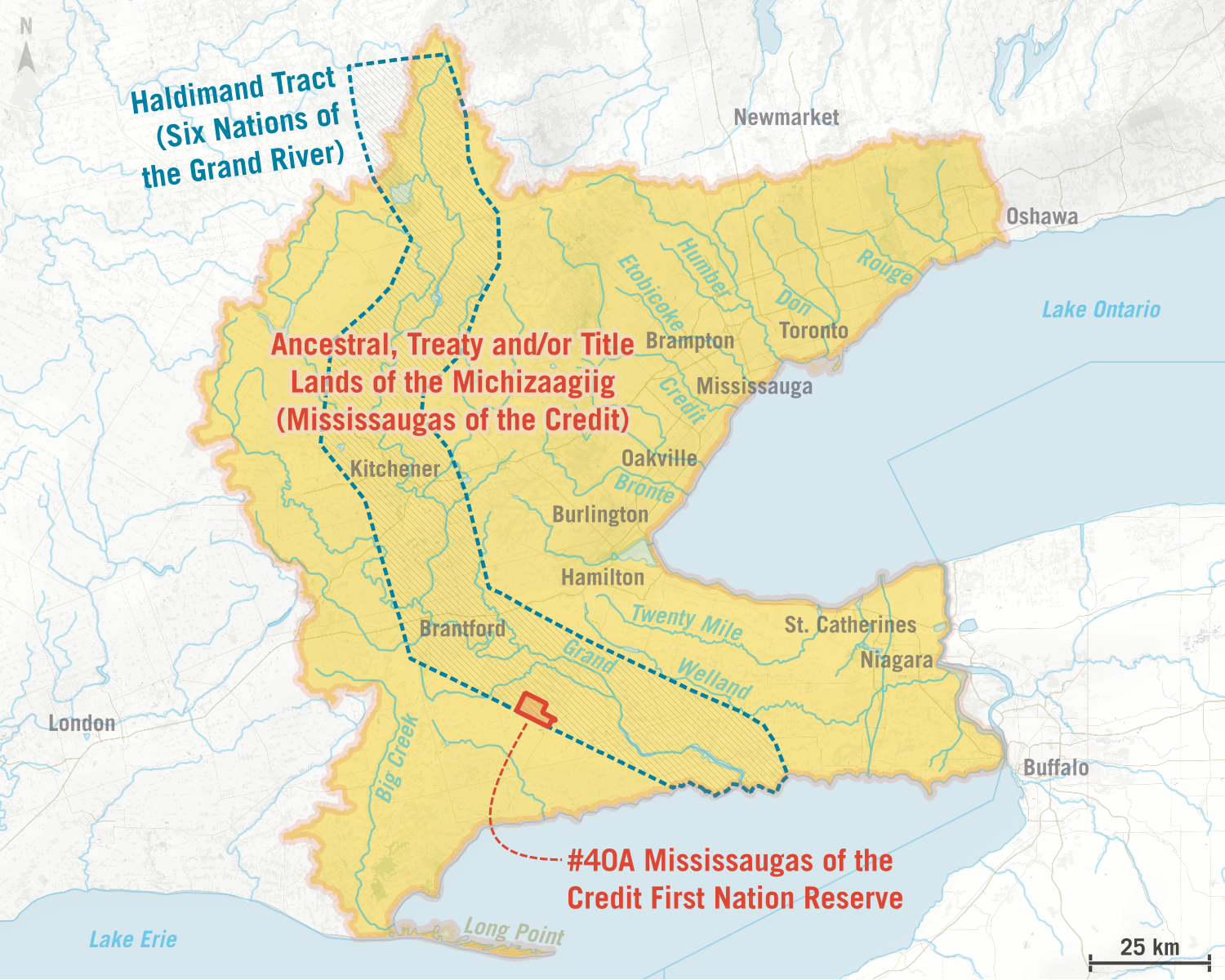
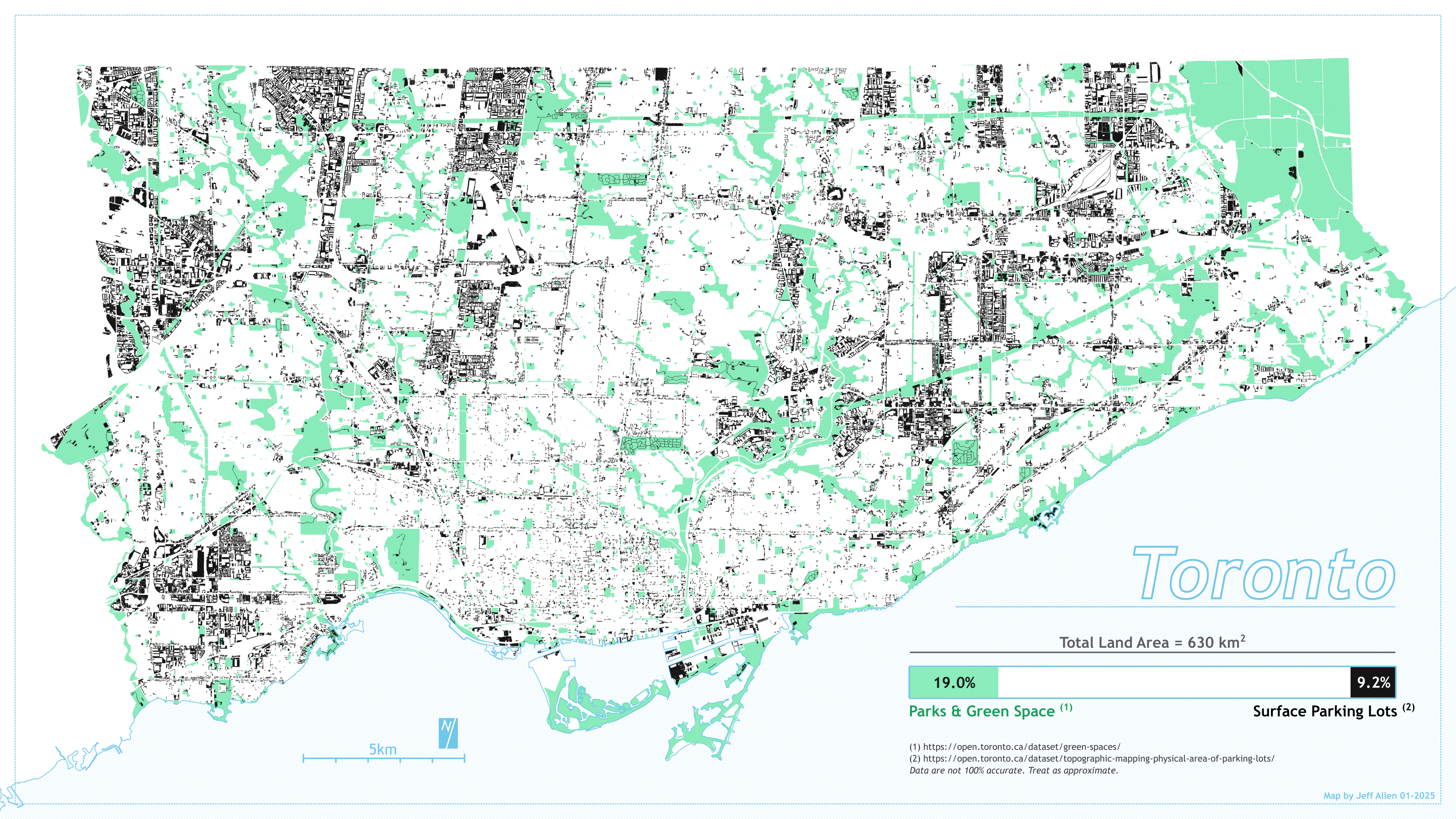
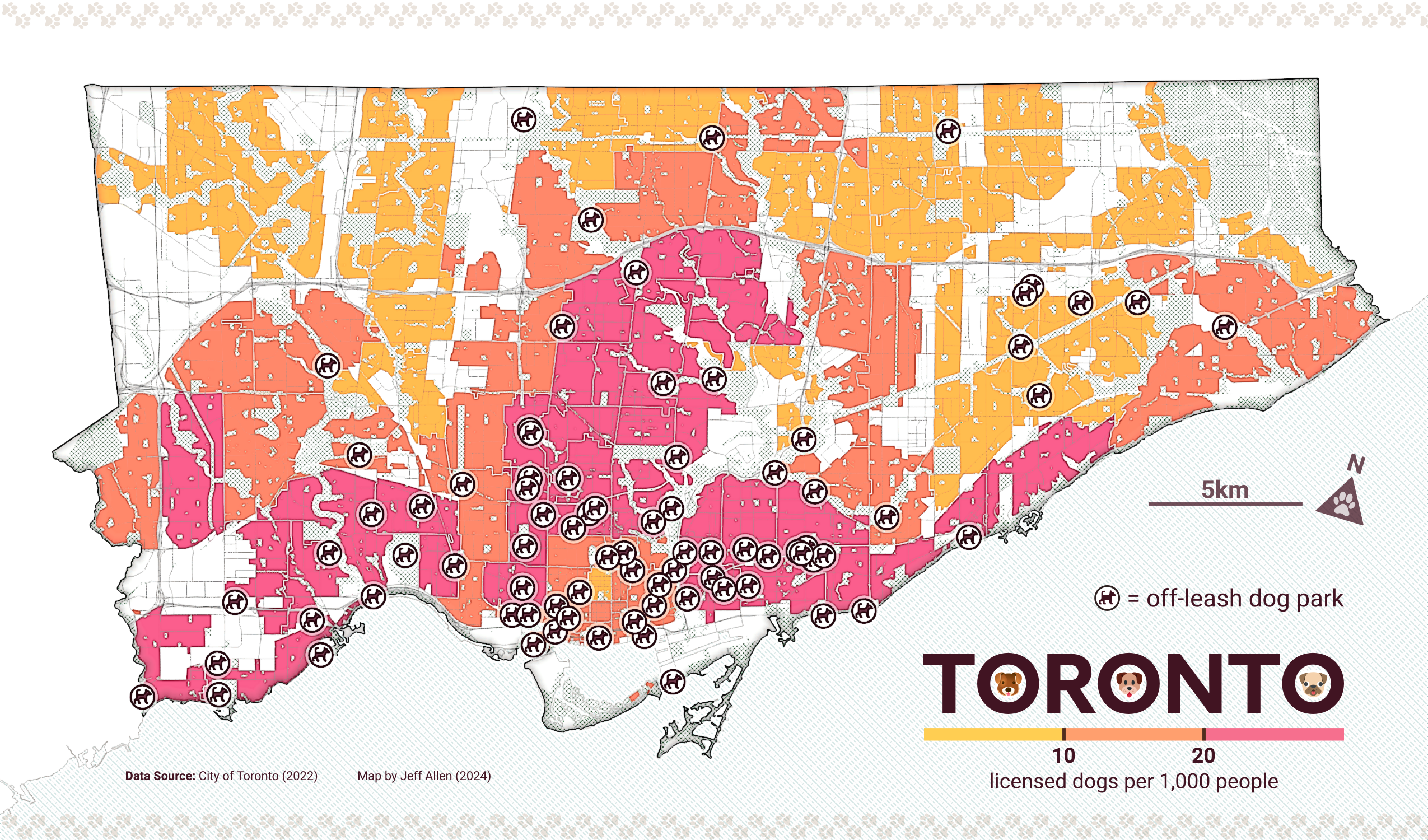
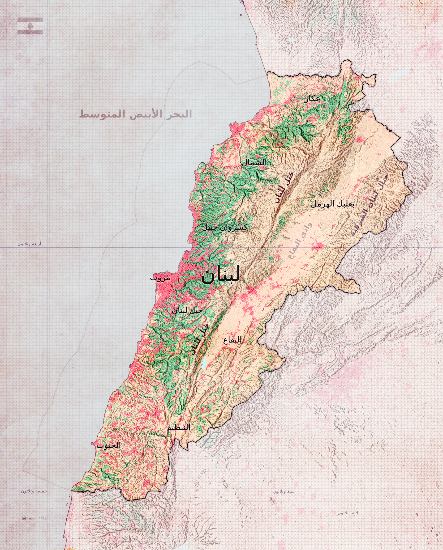
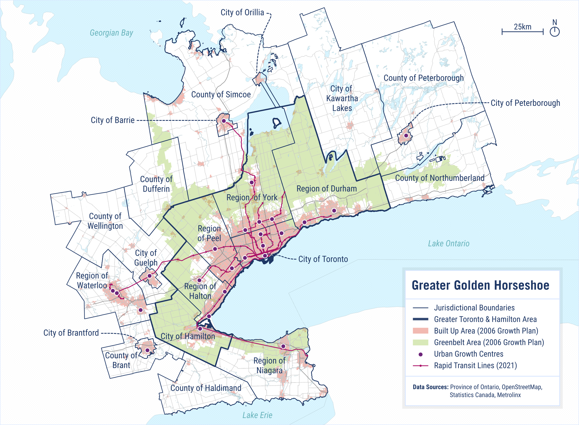
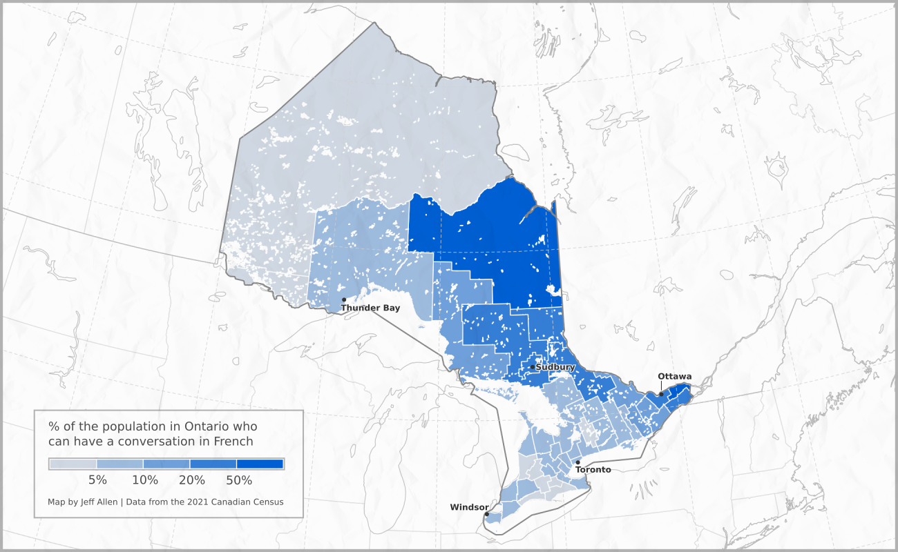
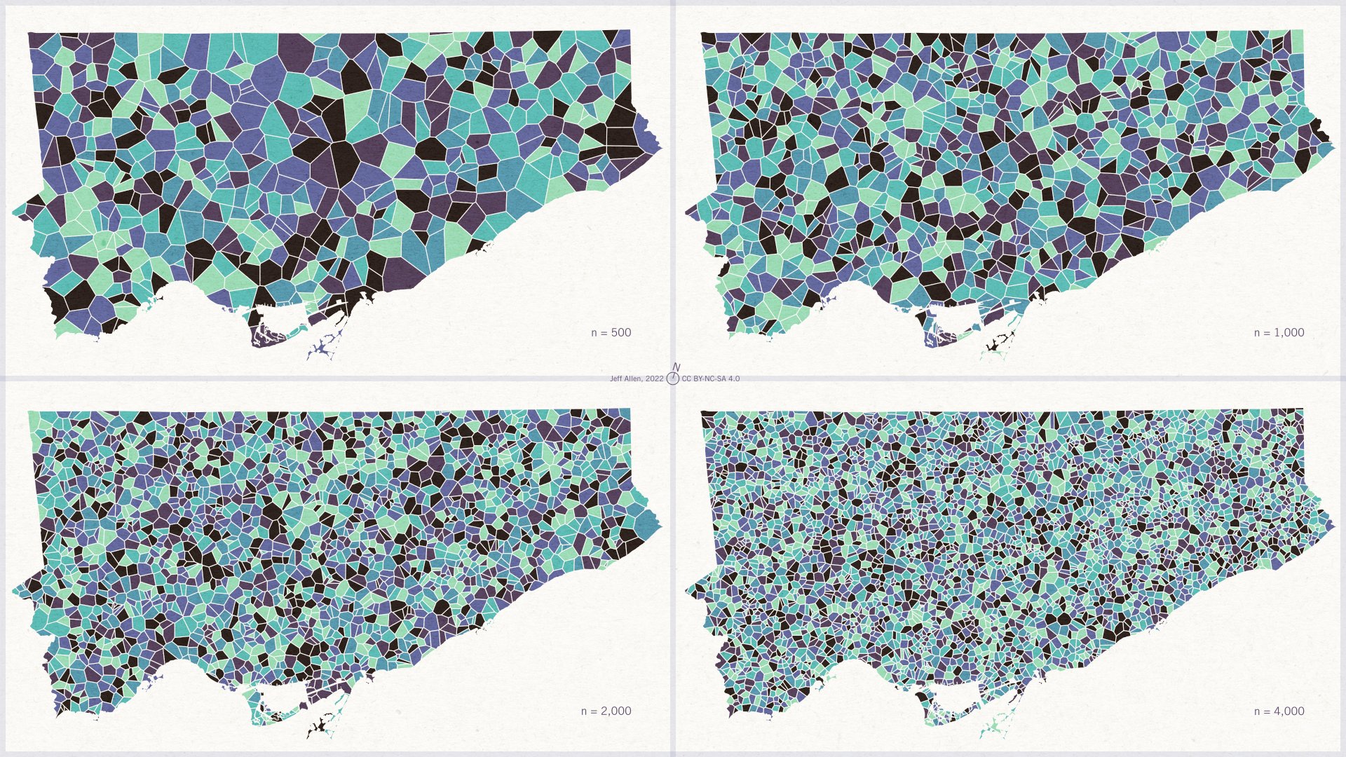
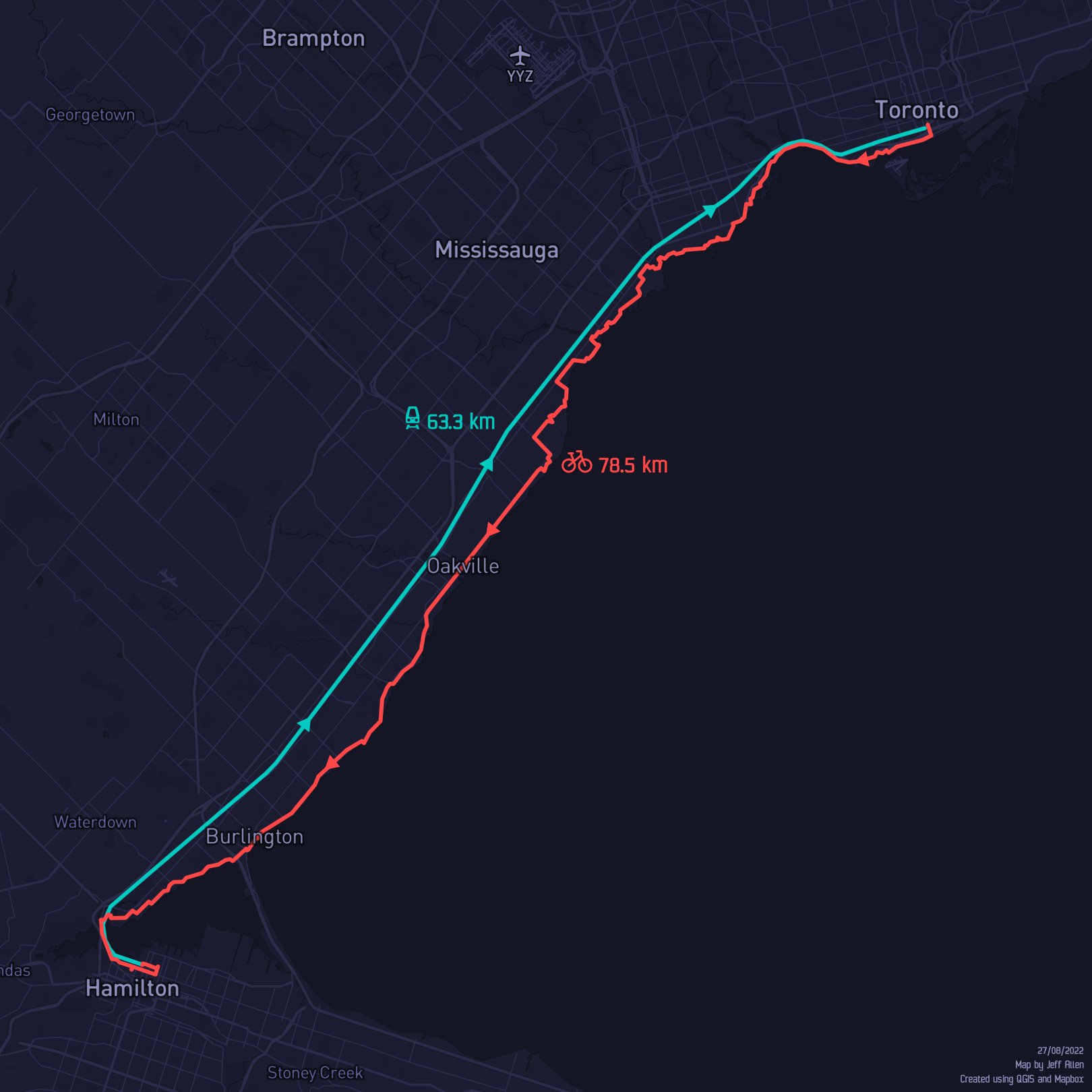
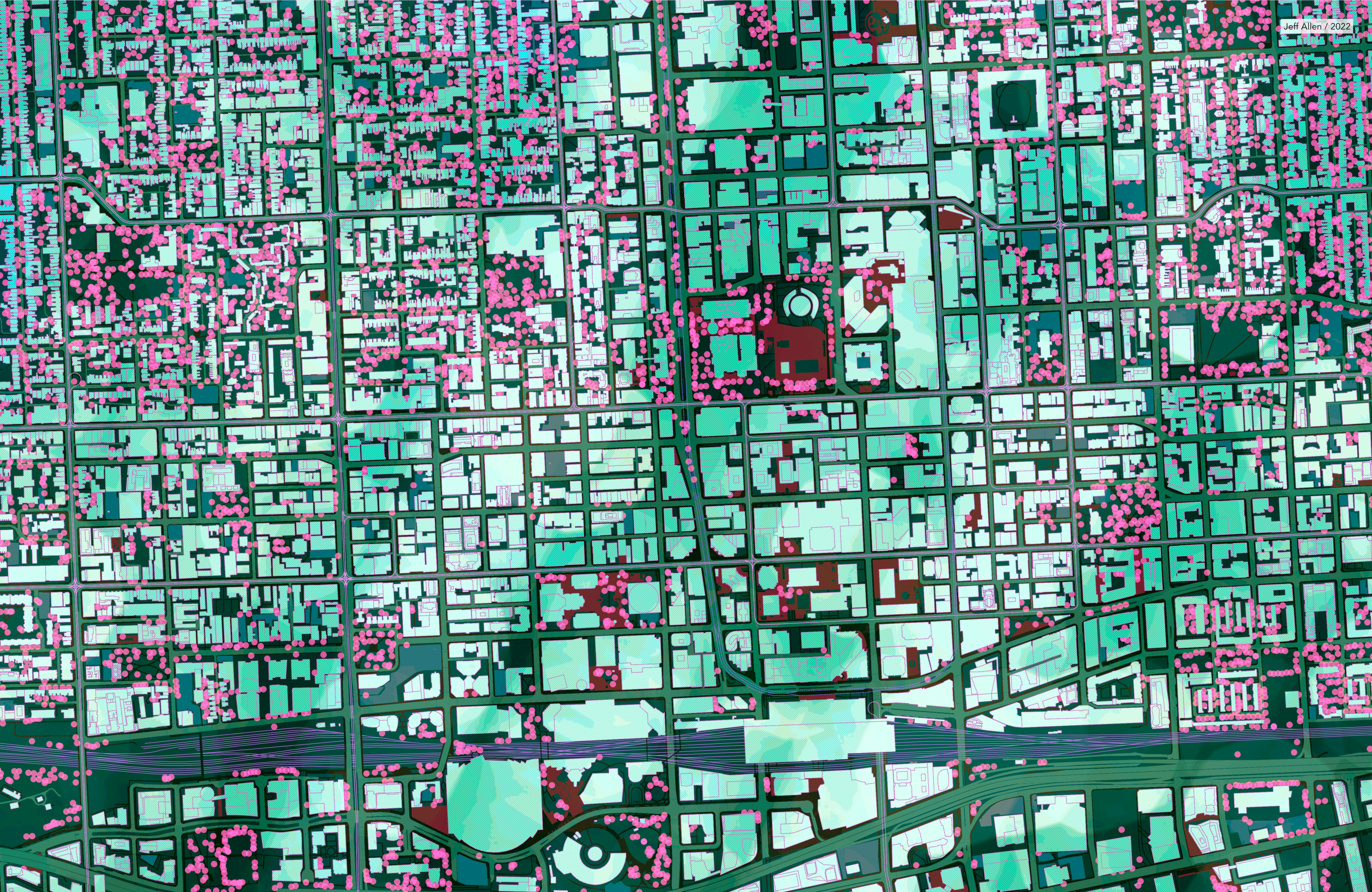
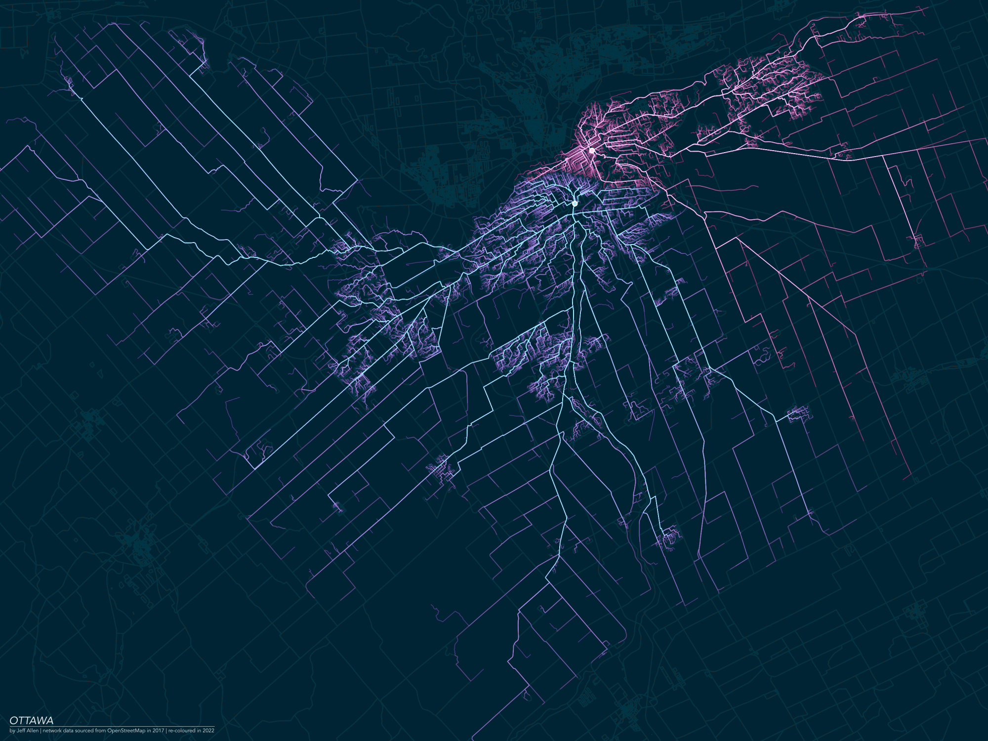
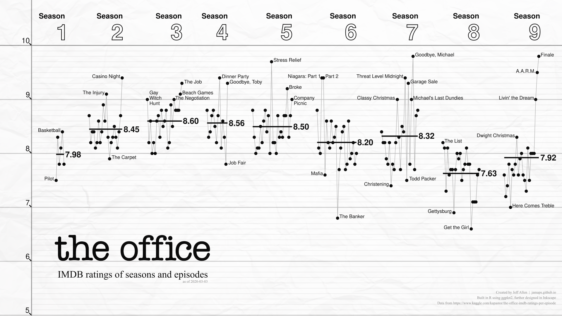
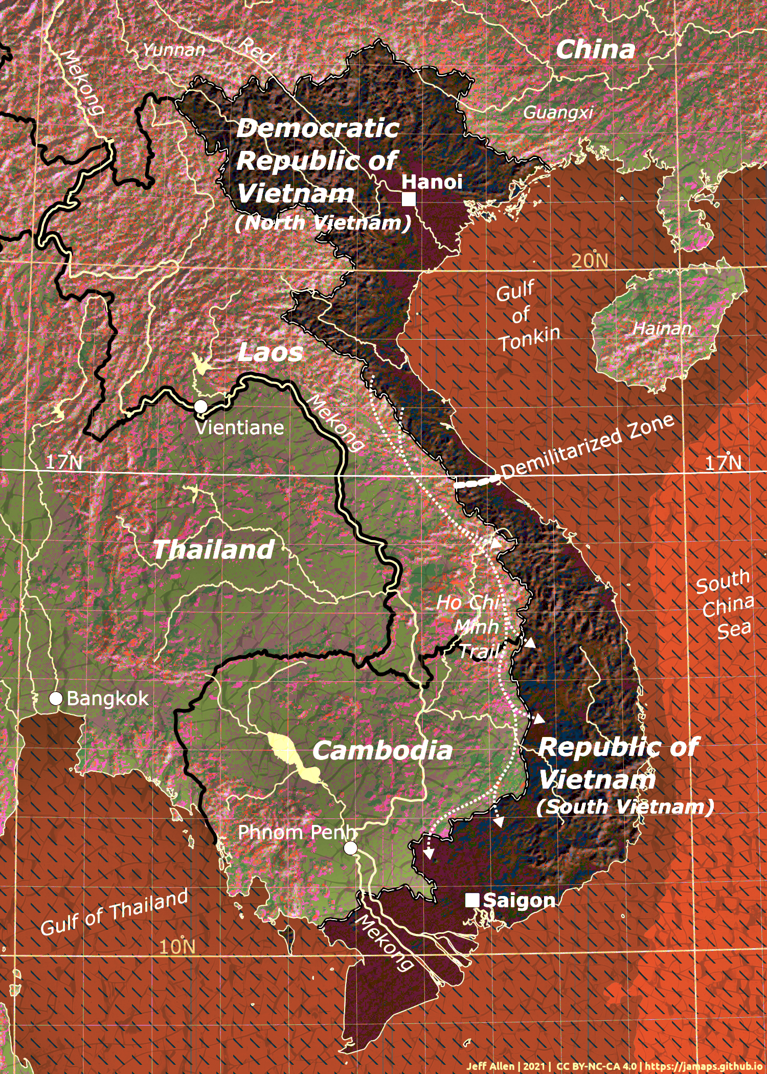
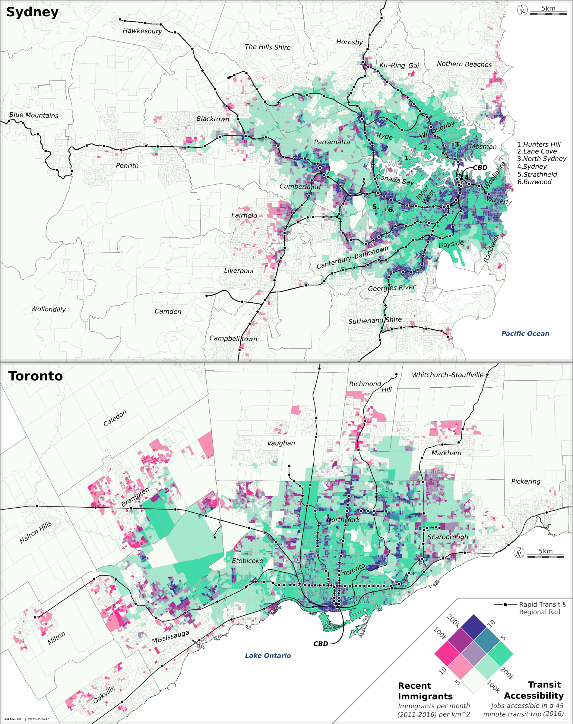
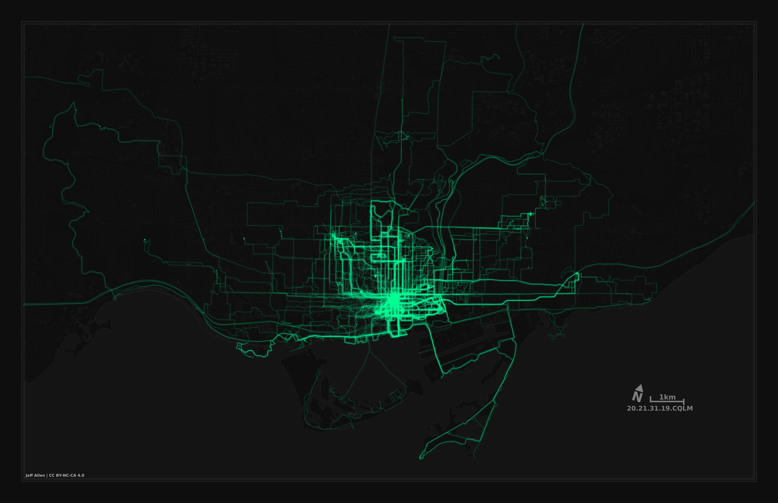
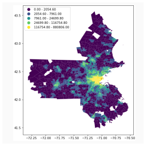
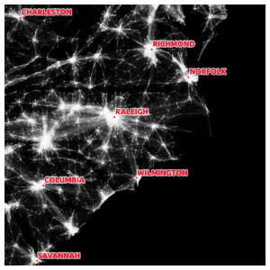
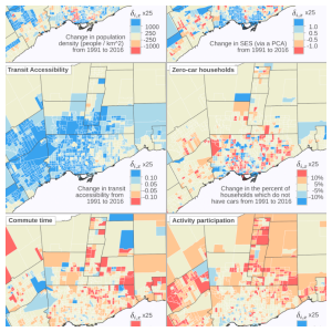
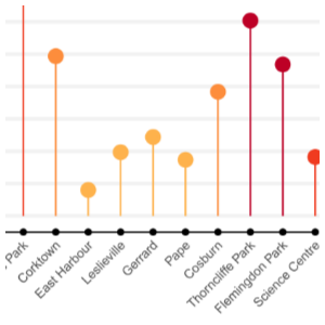
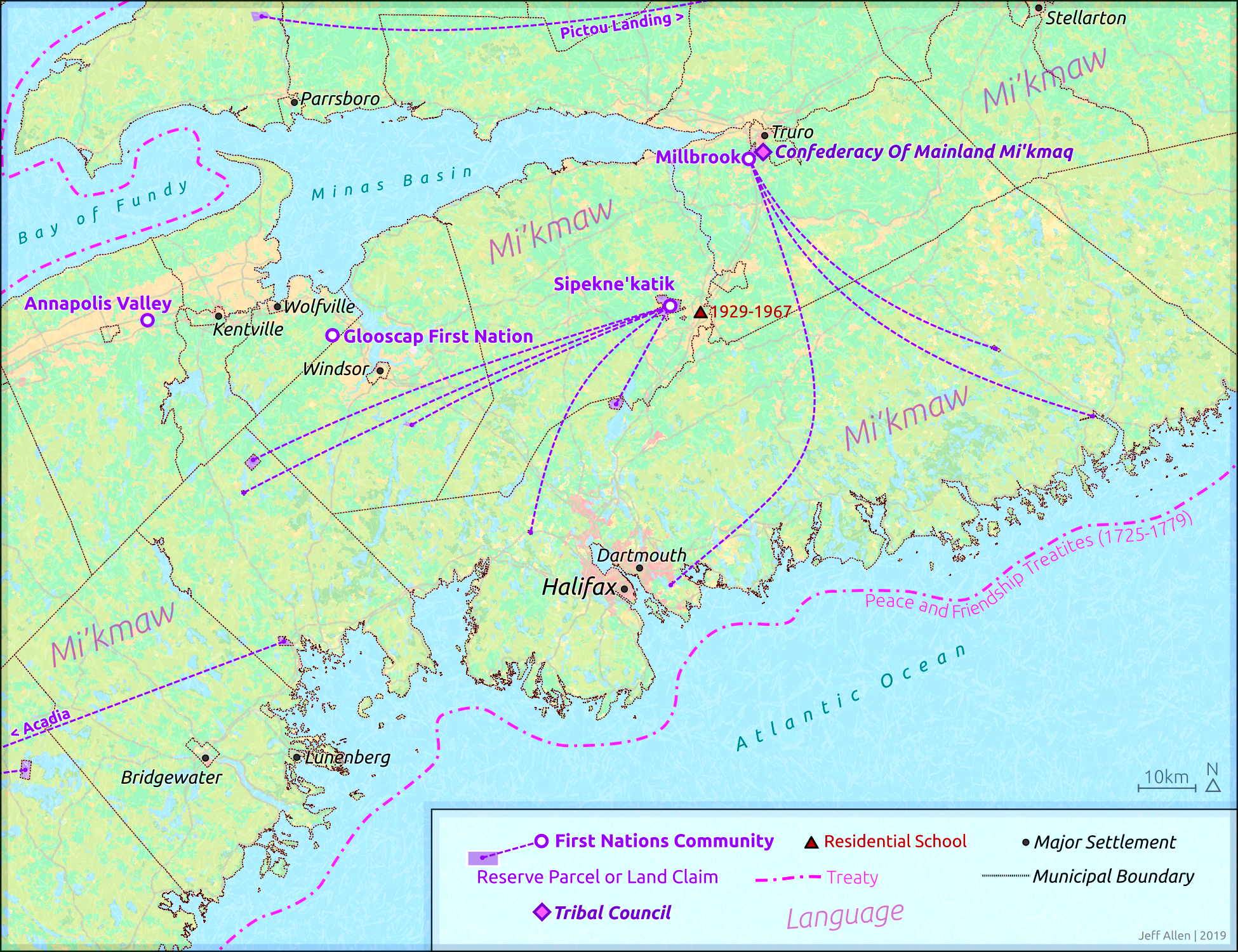
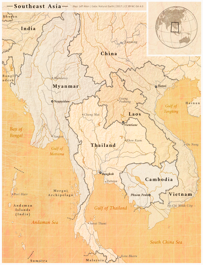
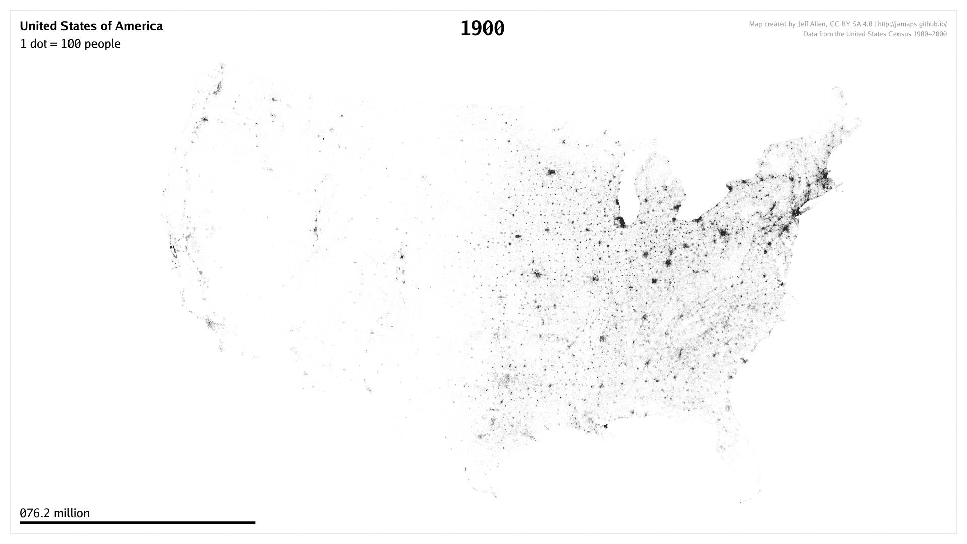
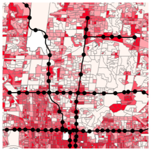
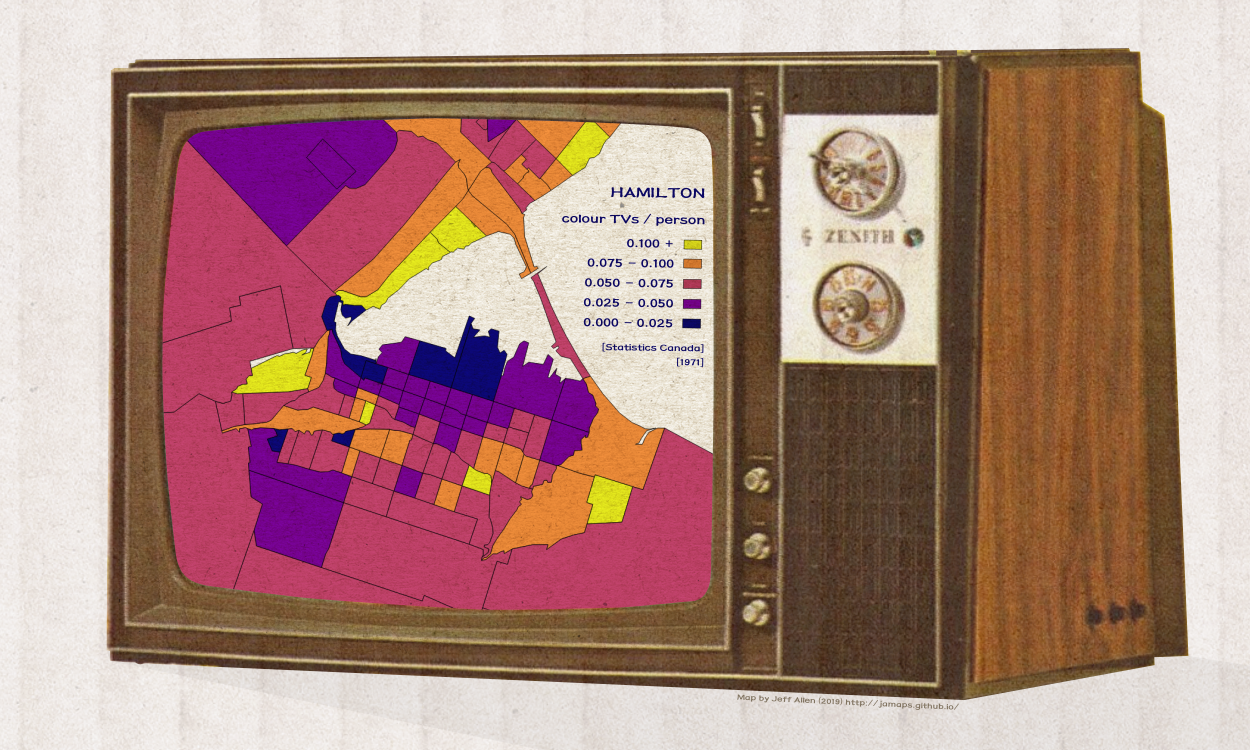
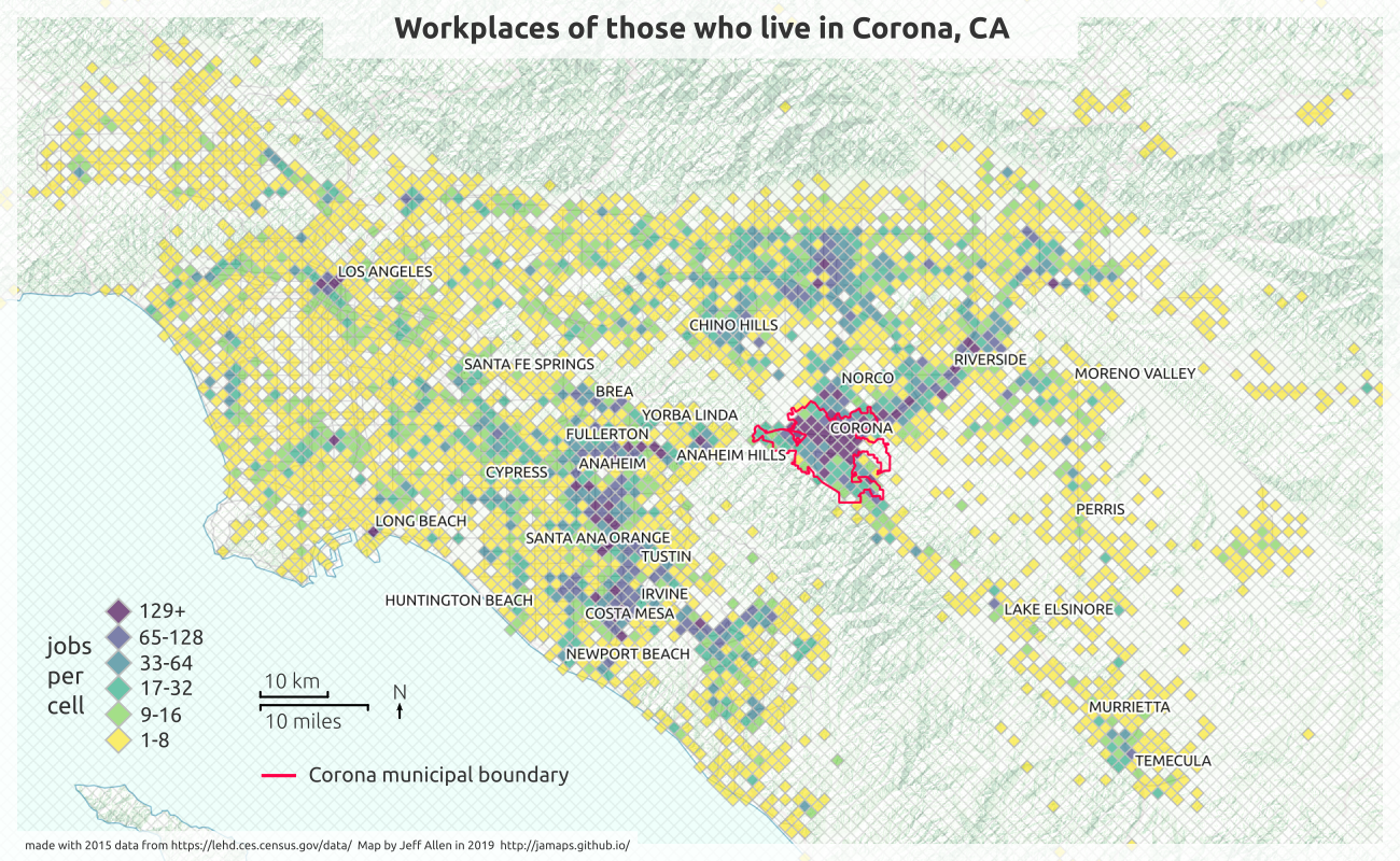
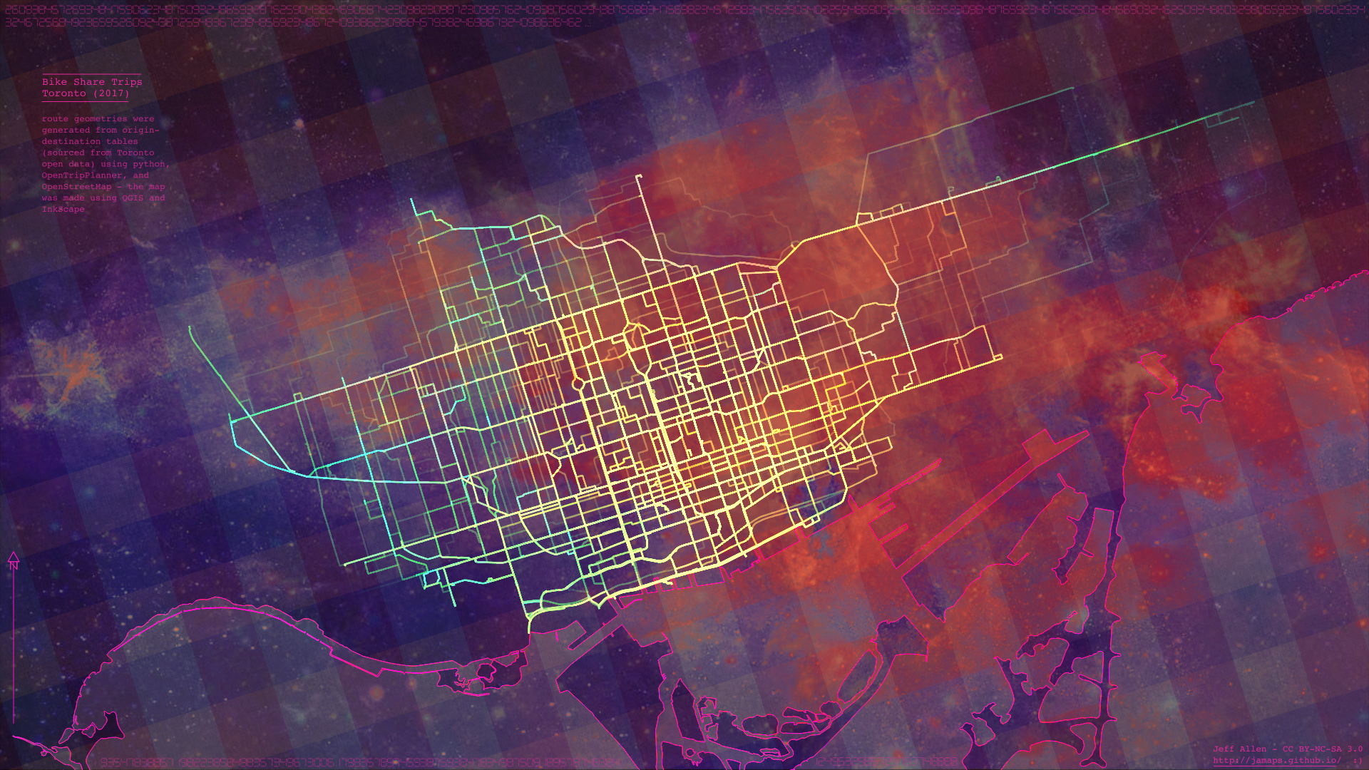
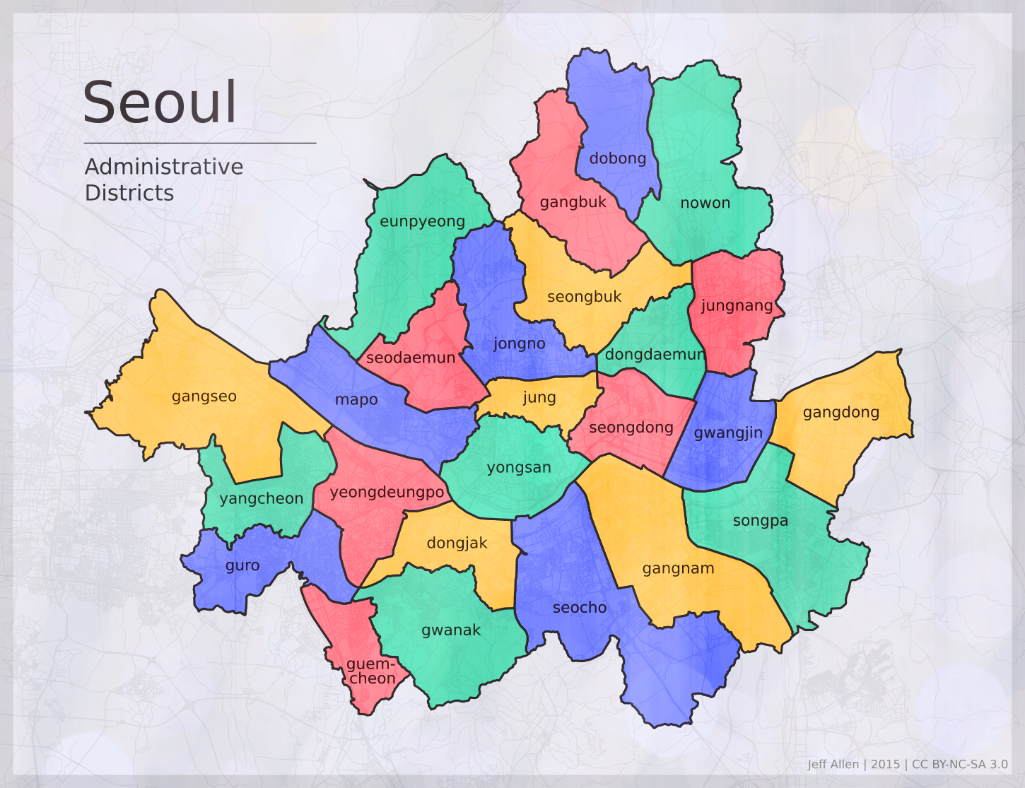
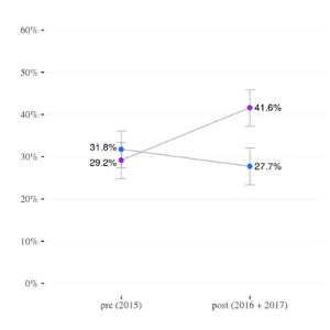
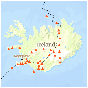
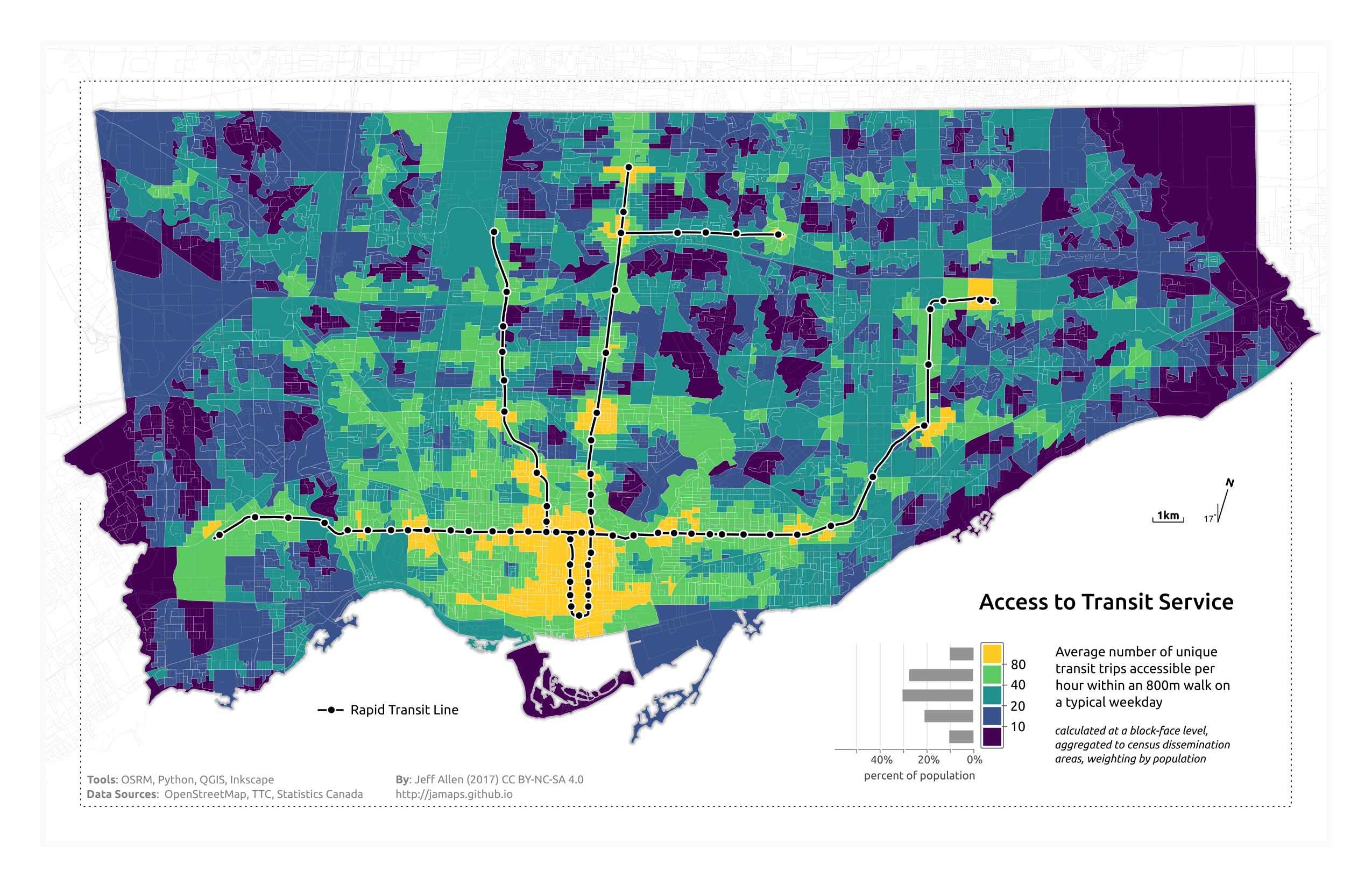
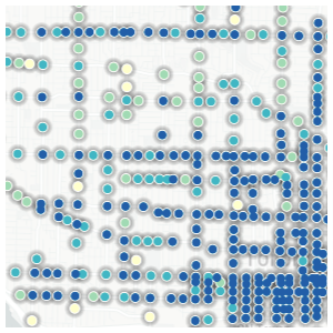
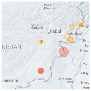
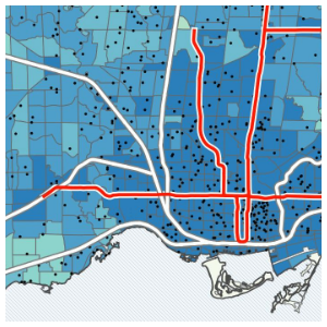
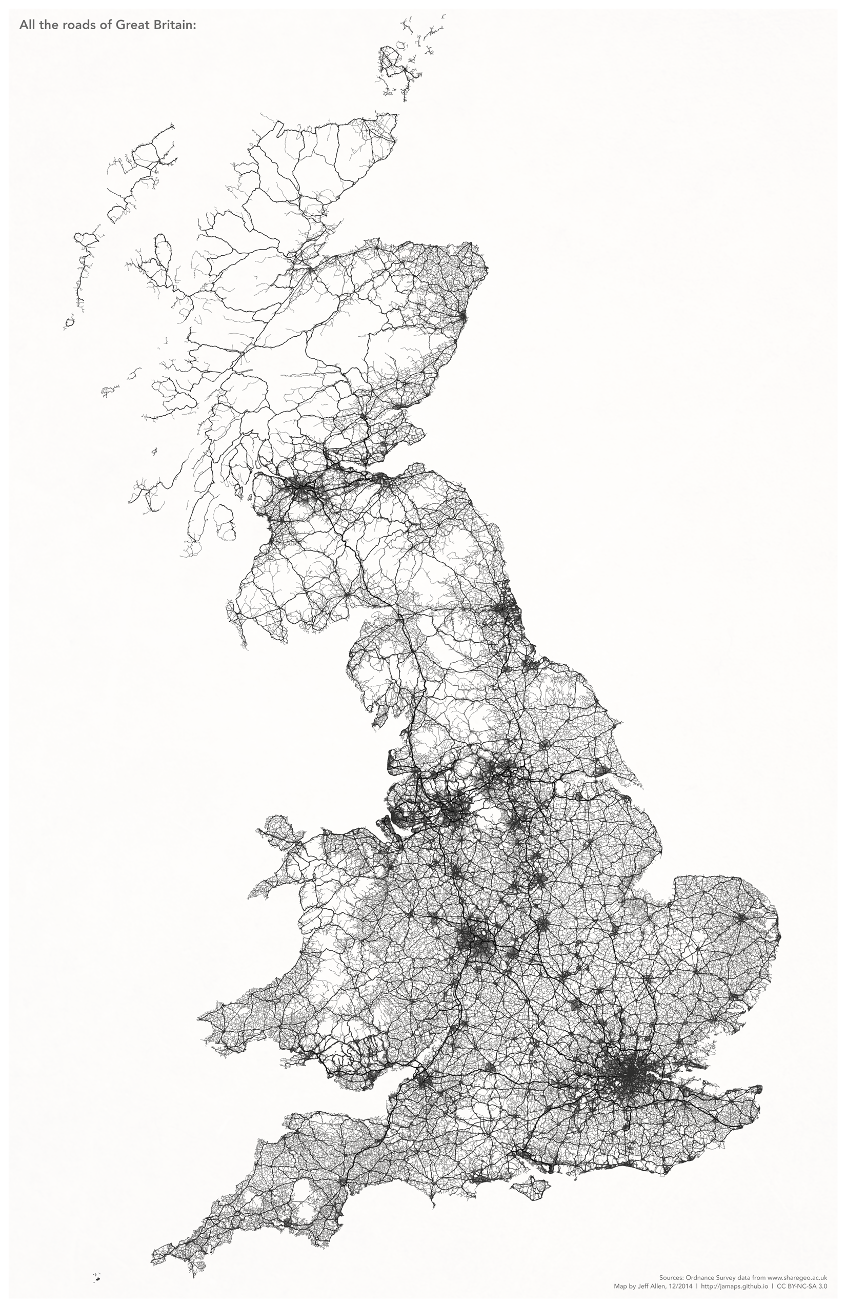
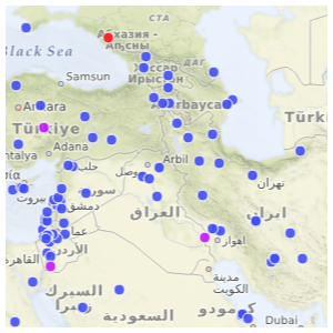
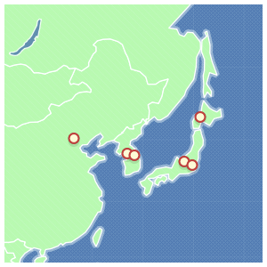
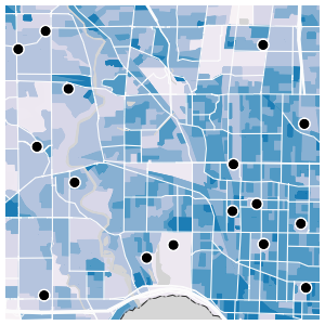
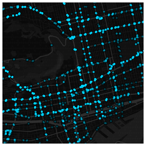
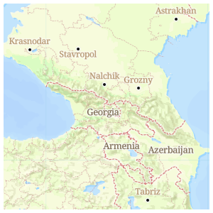
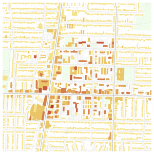
I live in Toronto and I occasionally come across a super interesting dataset that I want to map. Below are a few examples from the past couple years or so. Some of these were digressions from research projects, some were just for fun :)
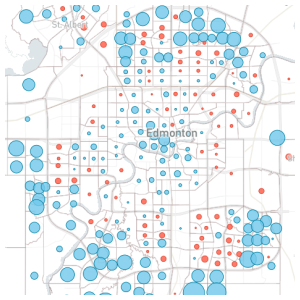
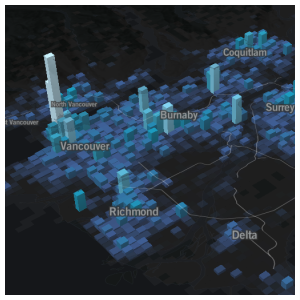
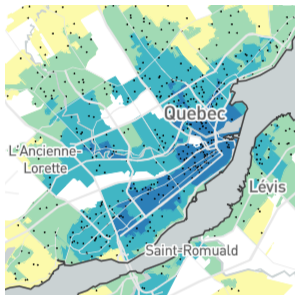
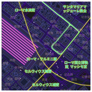
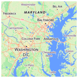
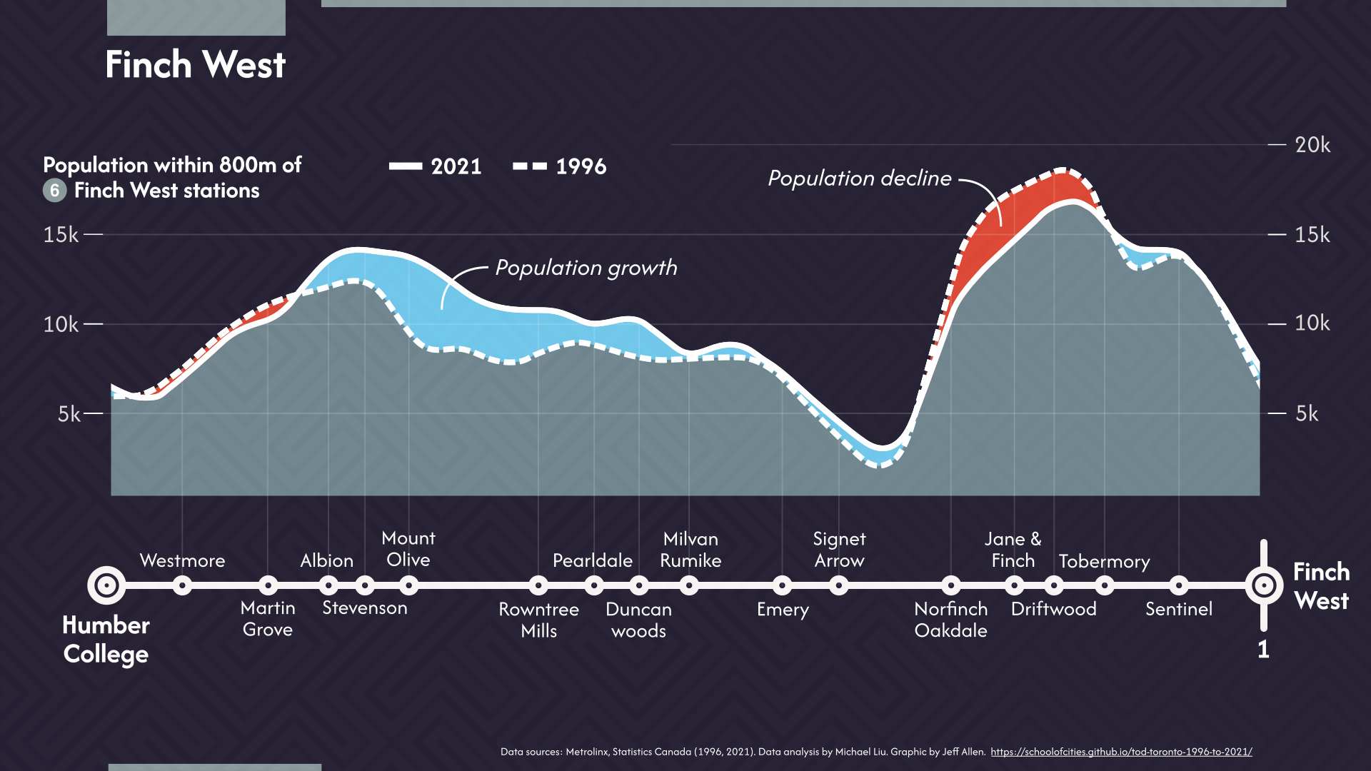
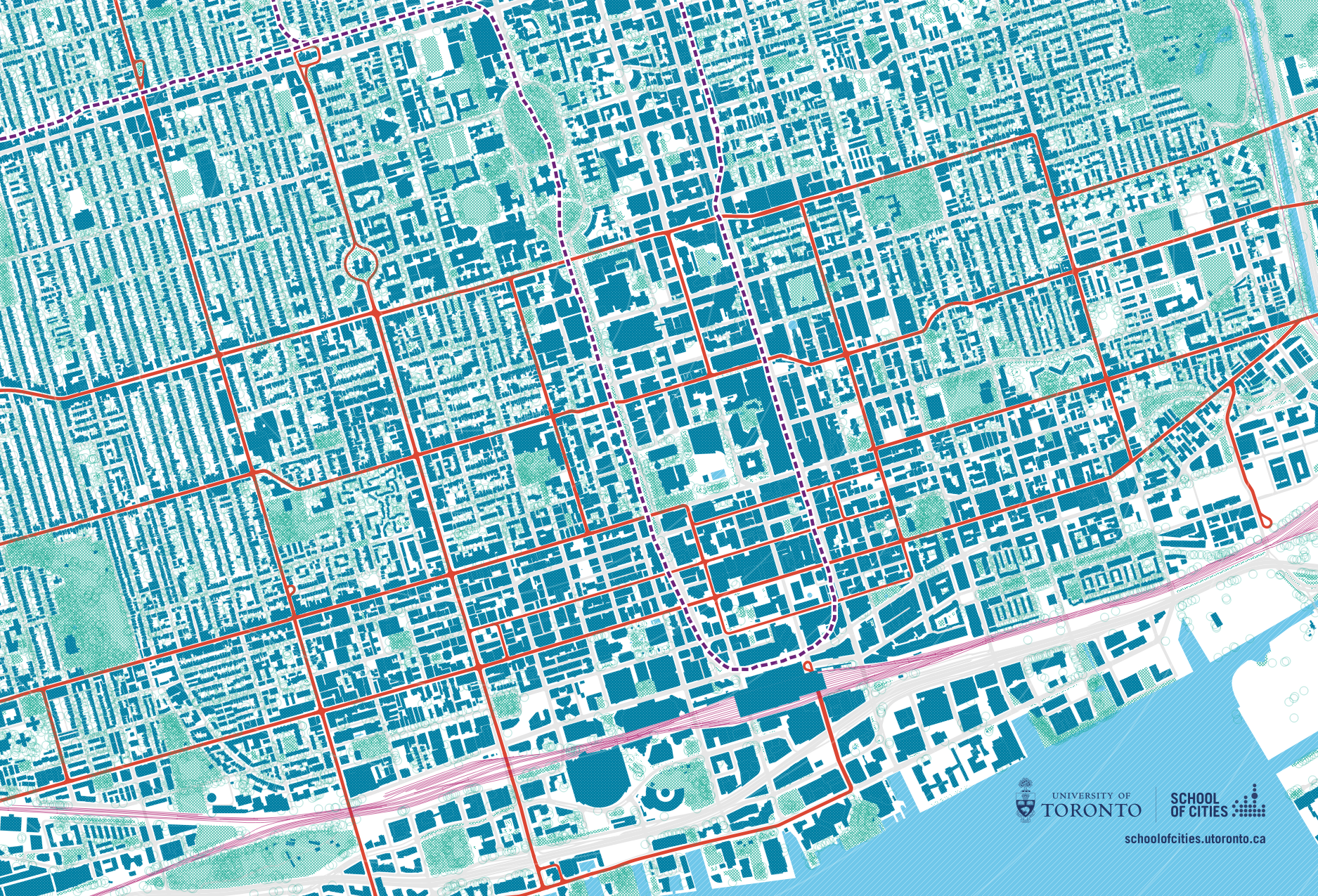
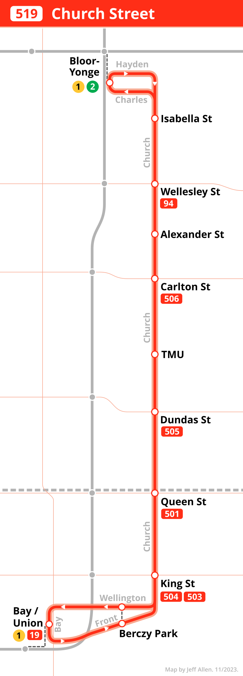
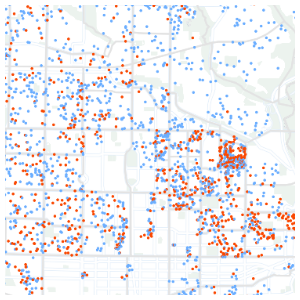
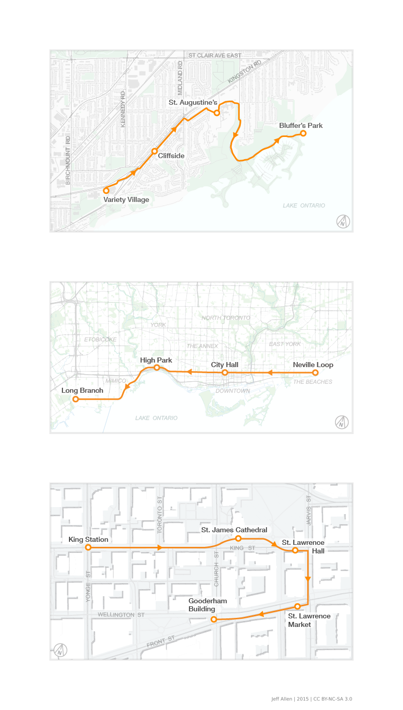
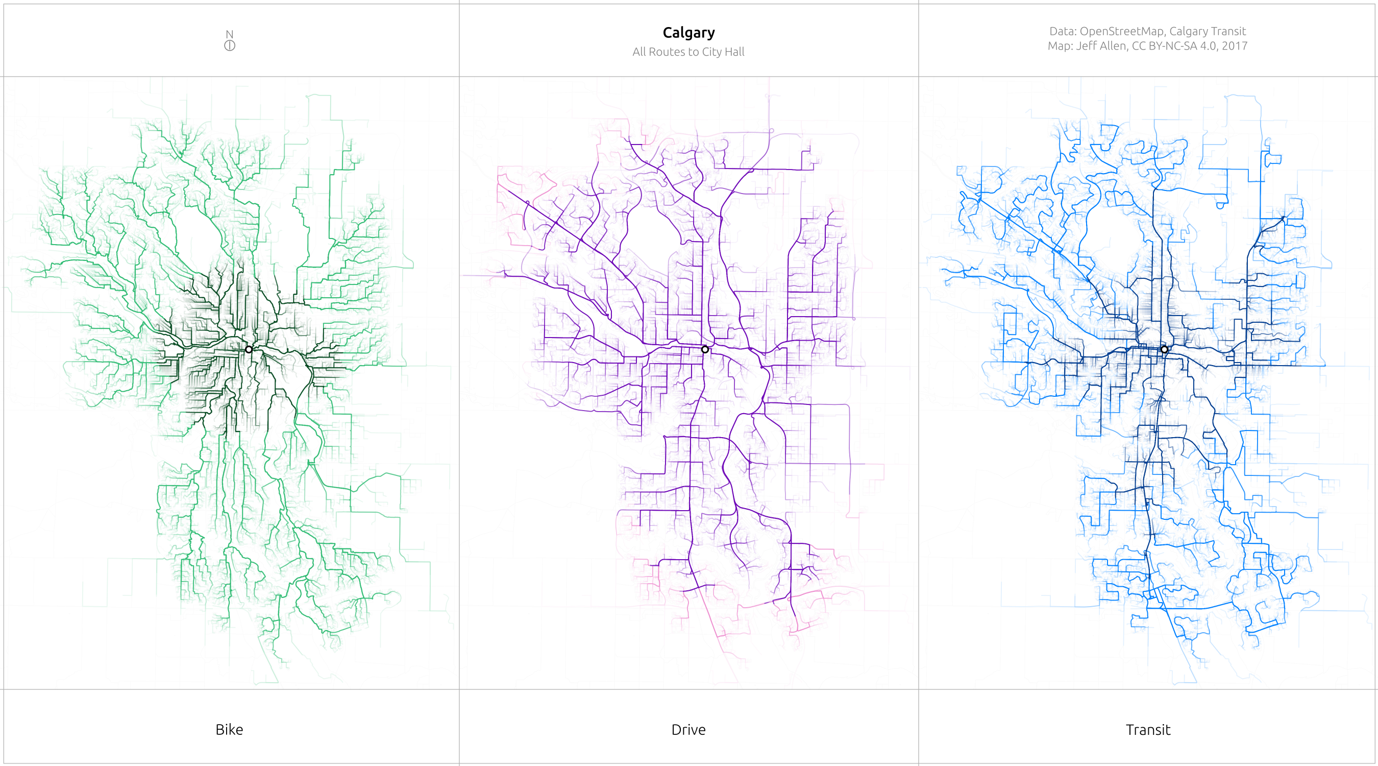
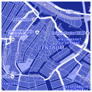
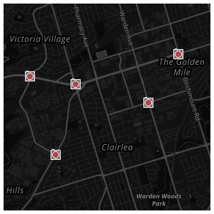
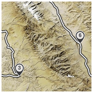
I've created a number of web-pages with custom interactive maps over the years. Some of these are self-exploratory visualization tools, others are integrated into larger websites or data stories. Below are a few examples. Some are from my day job at the School of Cities and were collaborative projects.
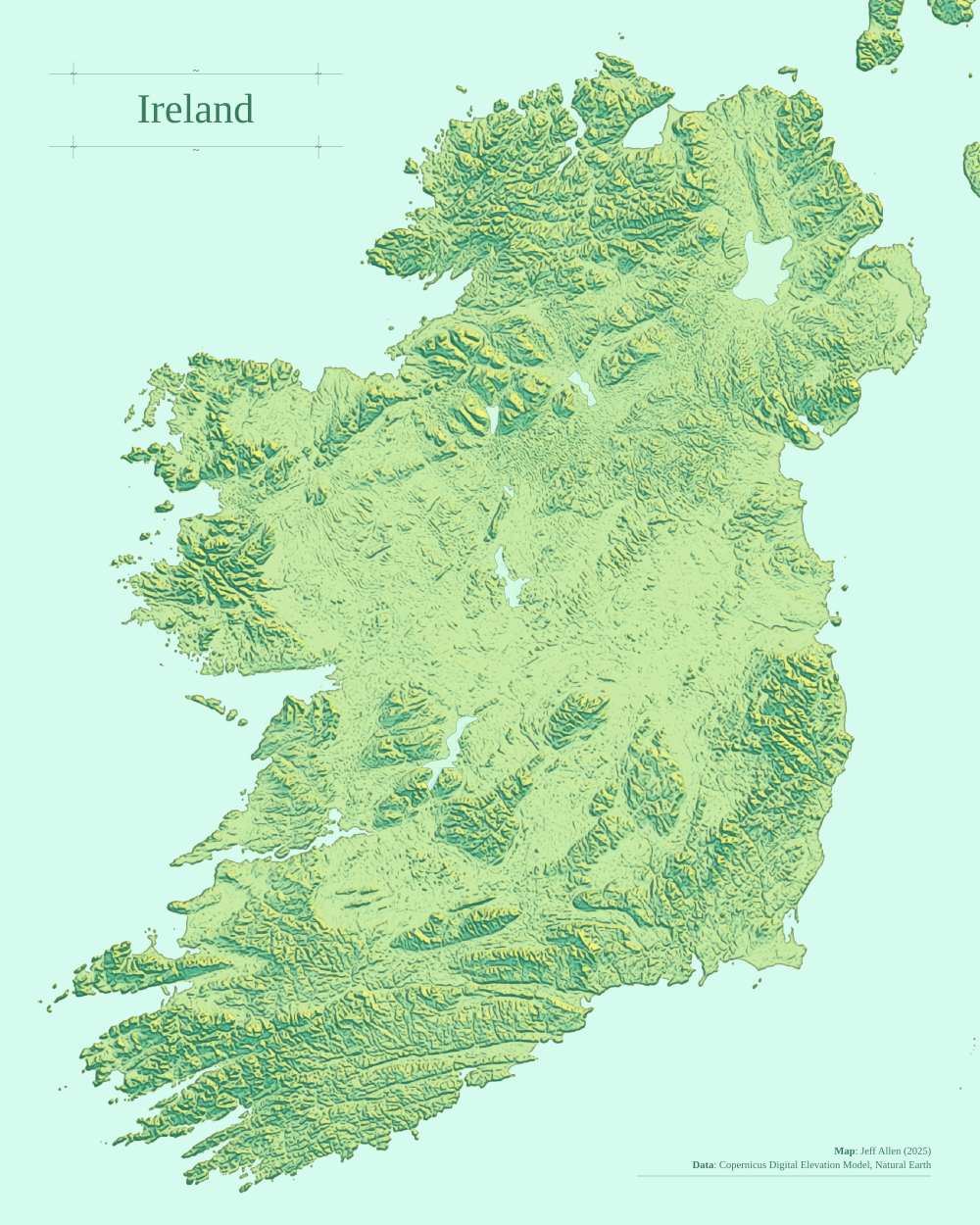
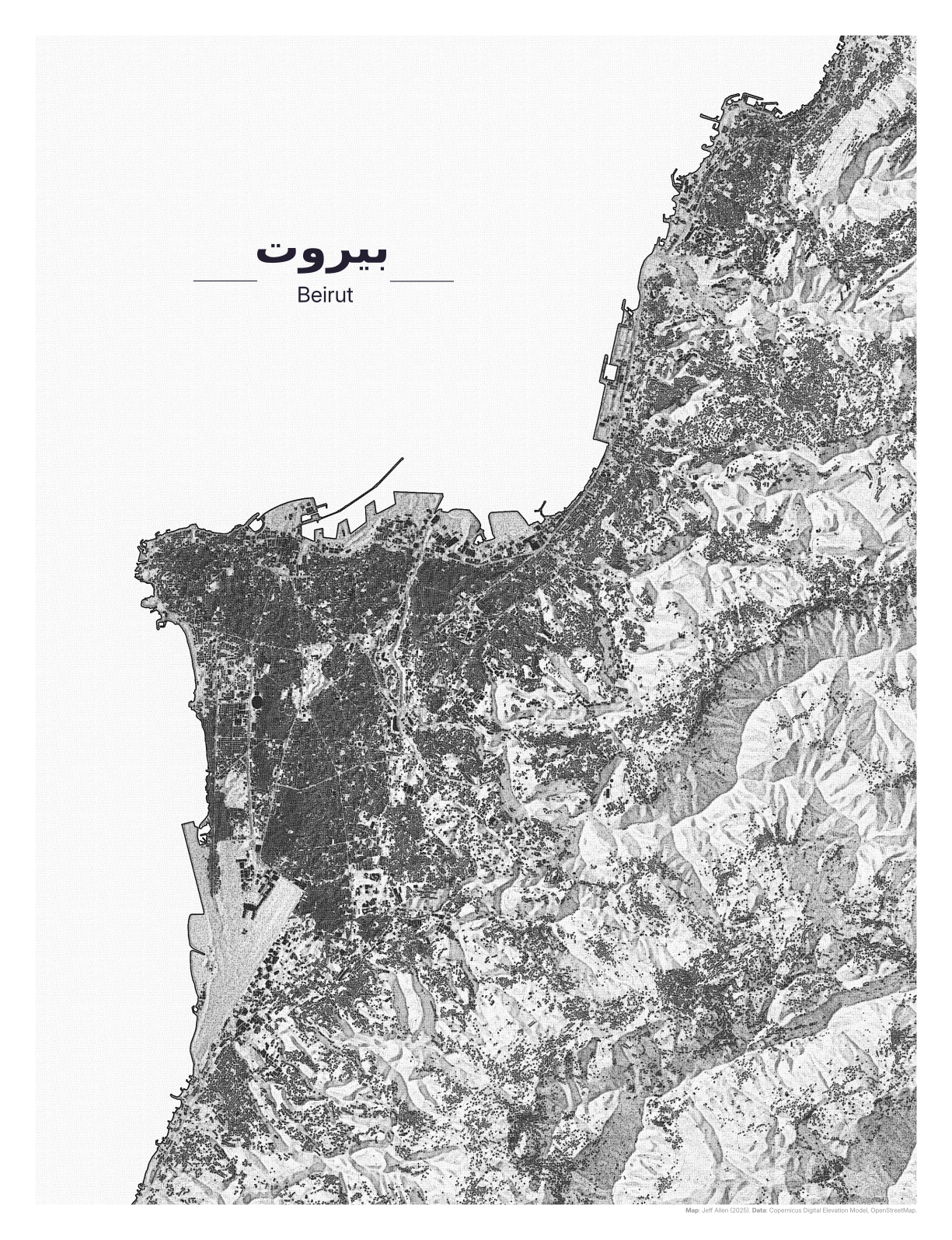
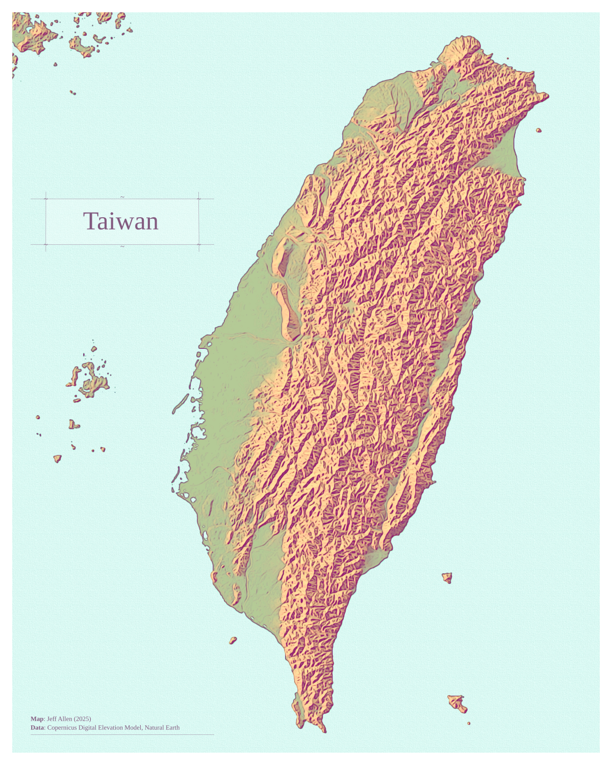
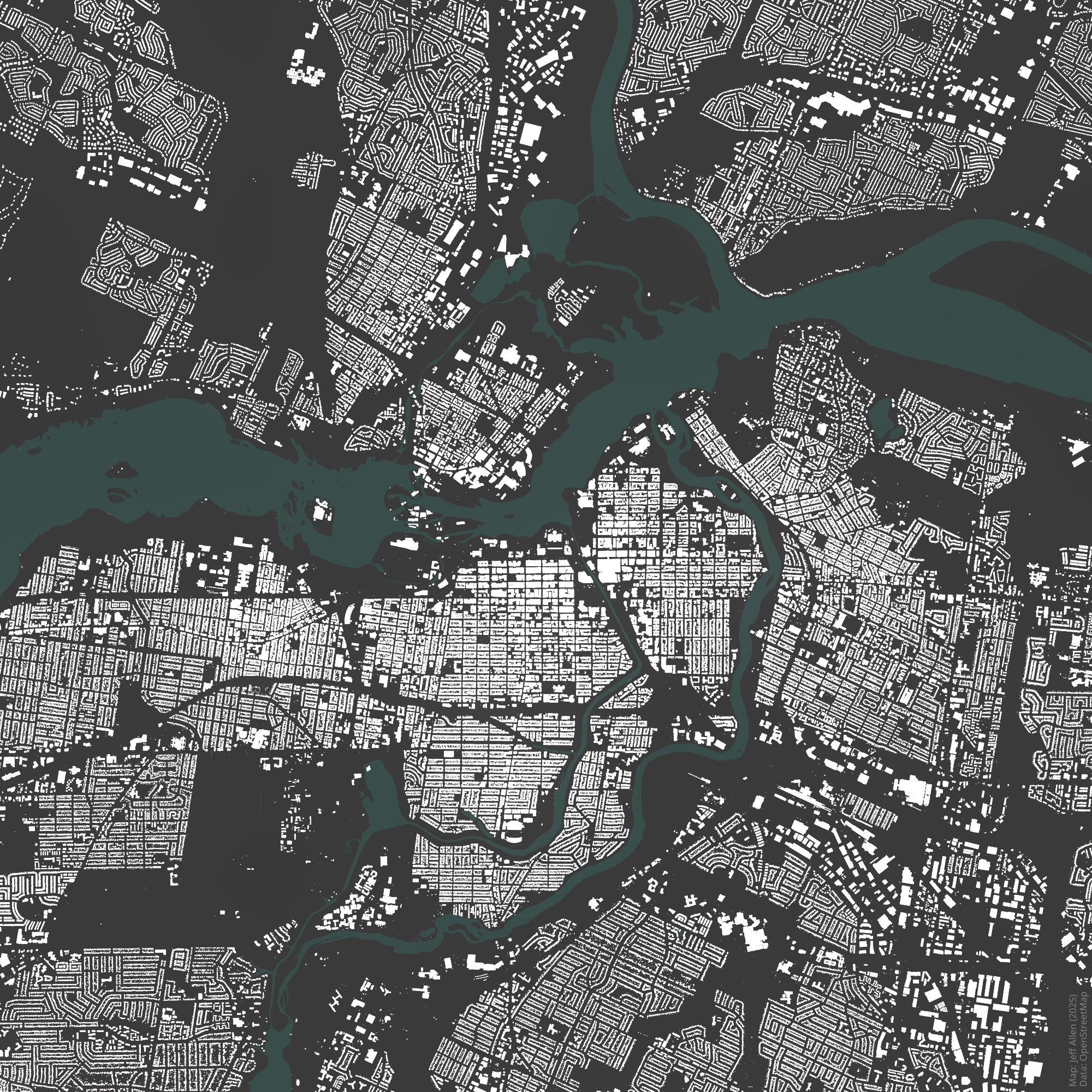
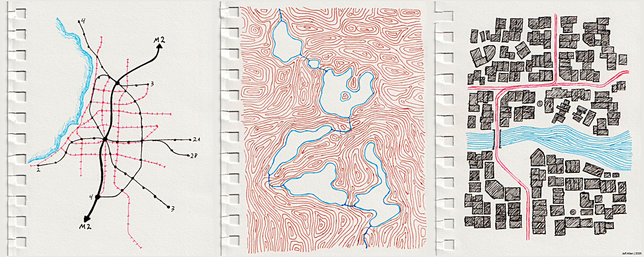
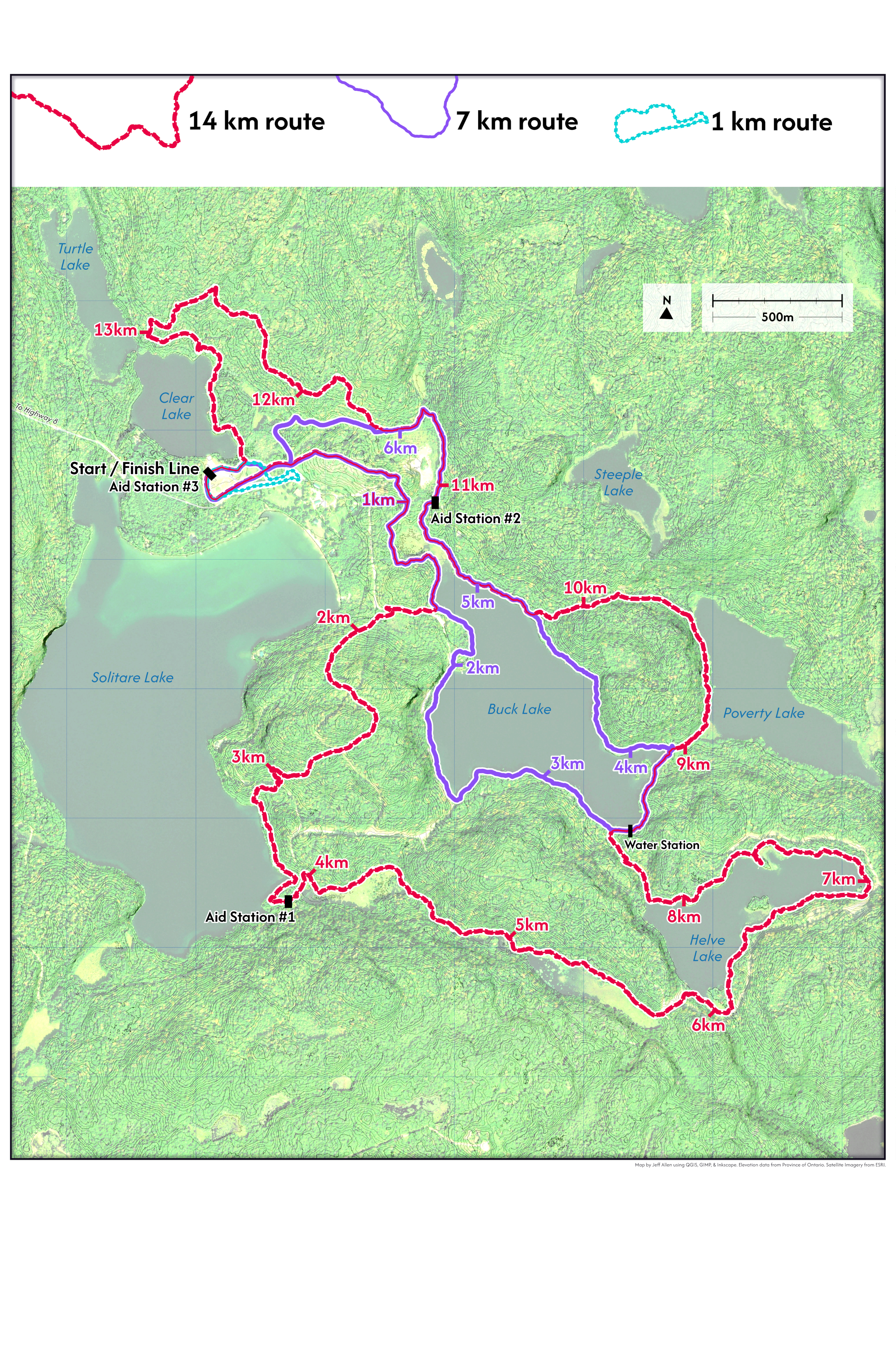
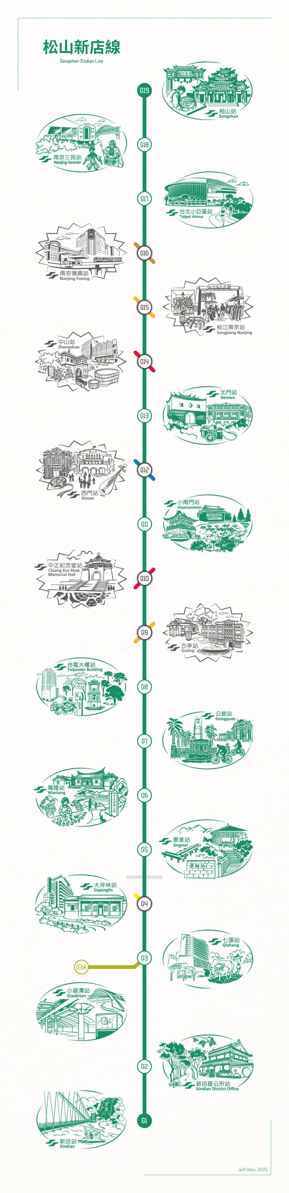
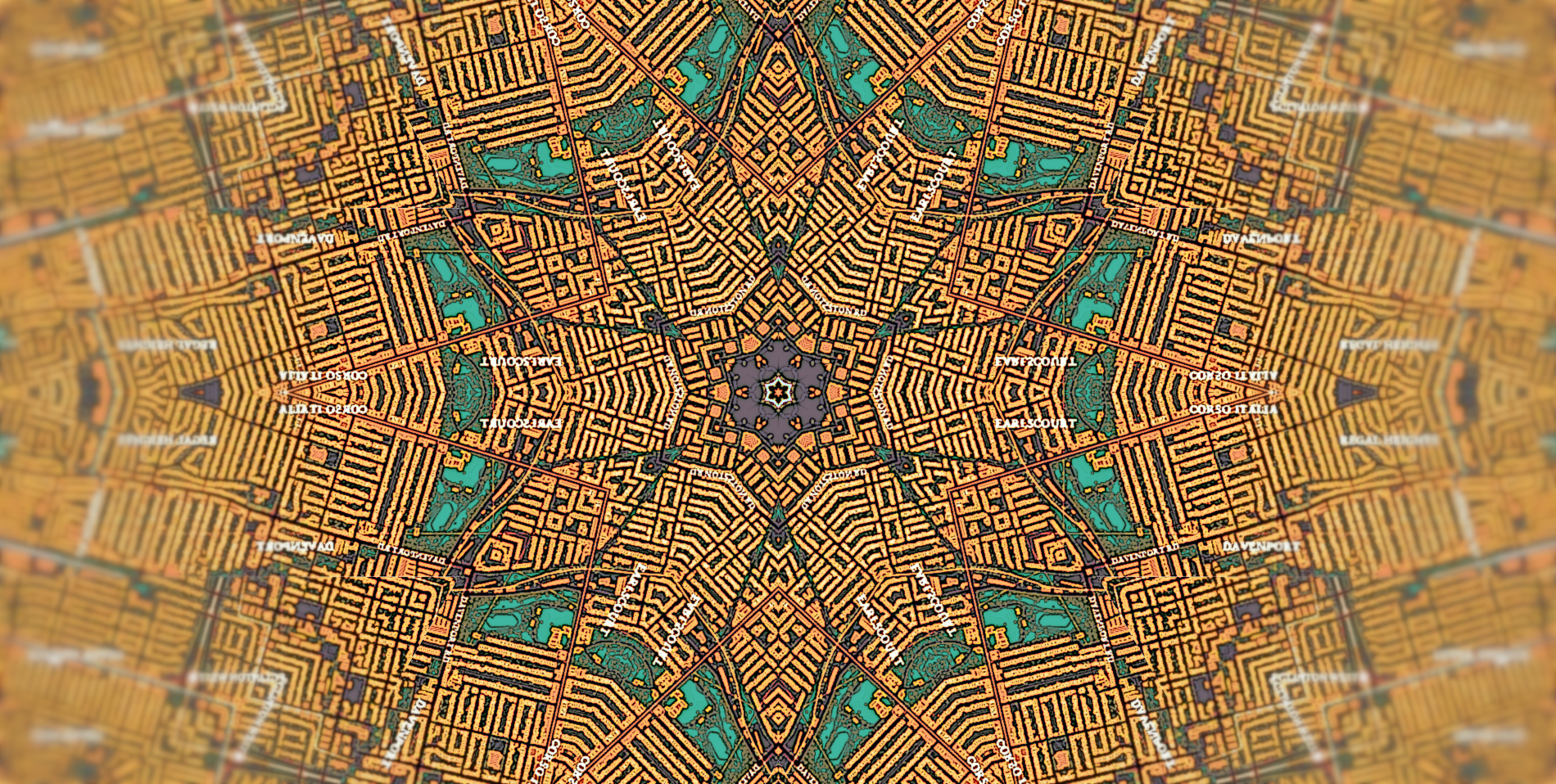
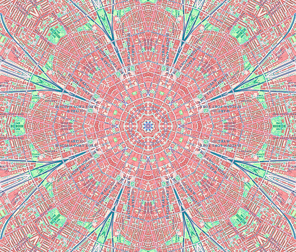
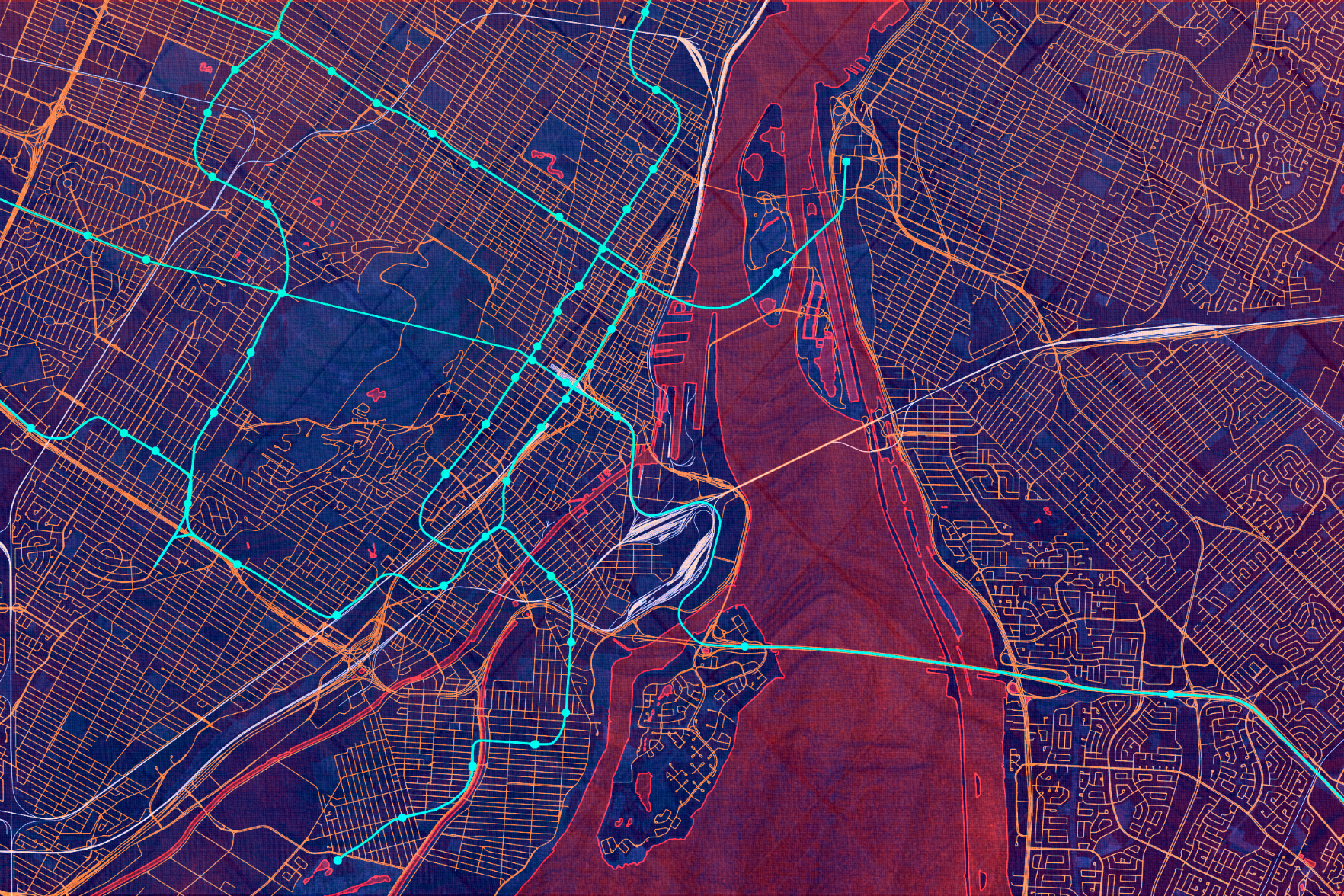
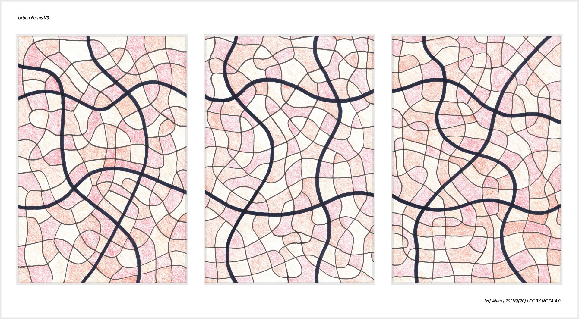
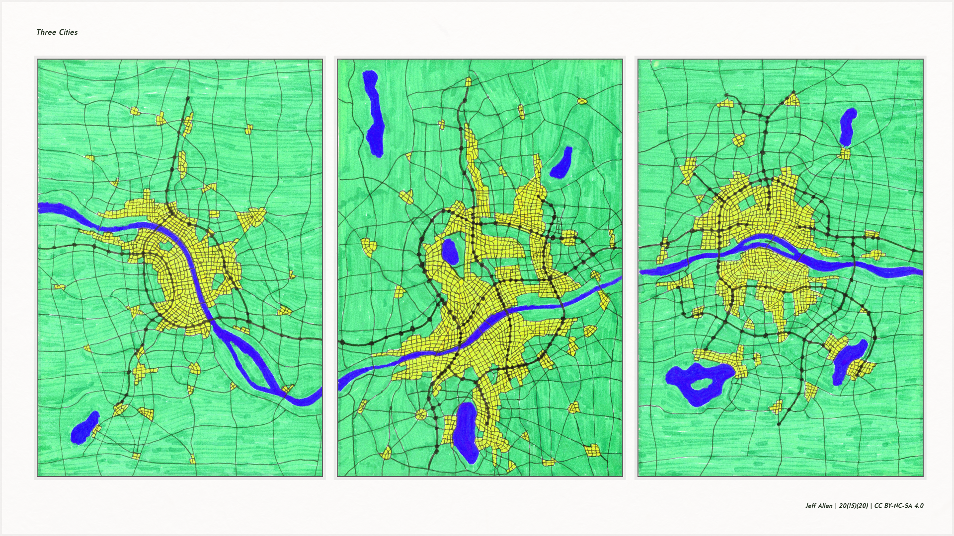
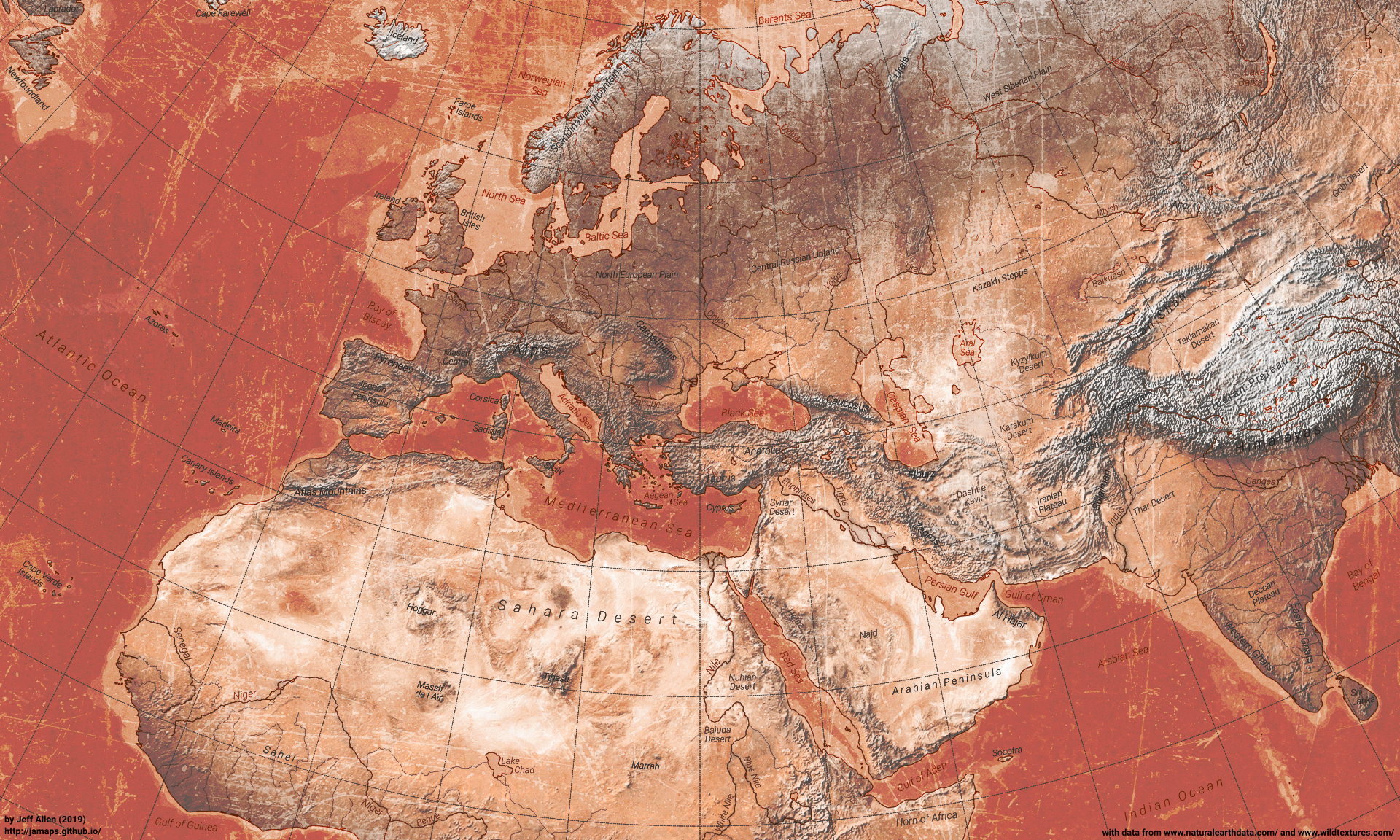
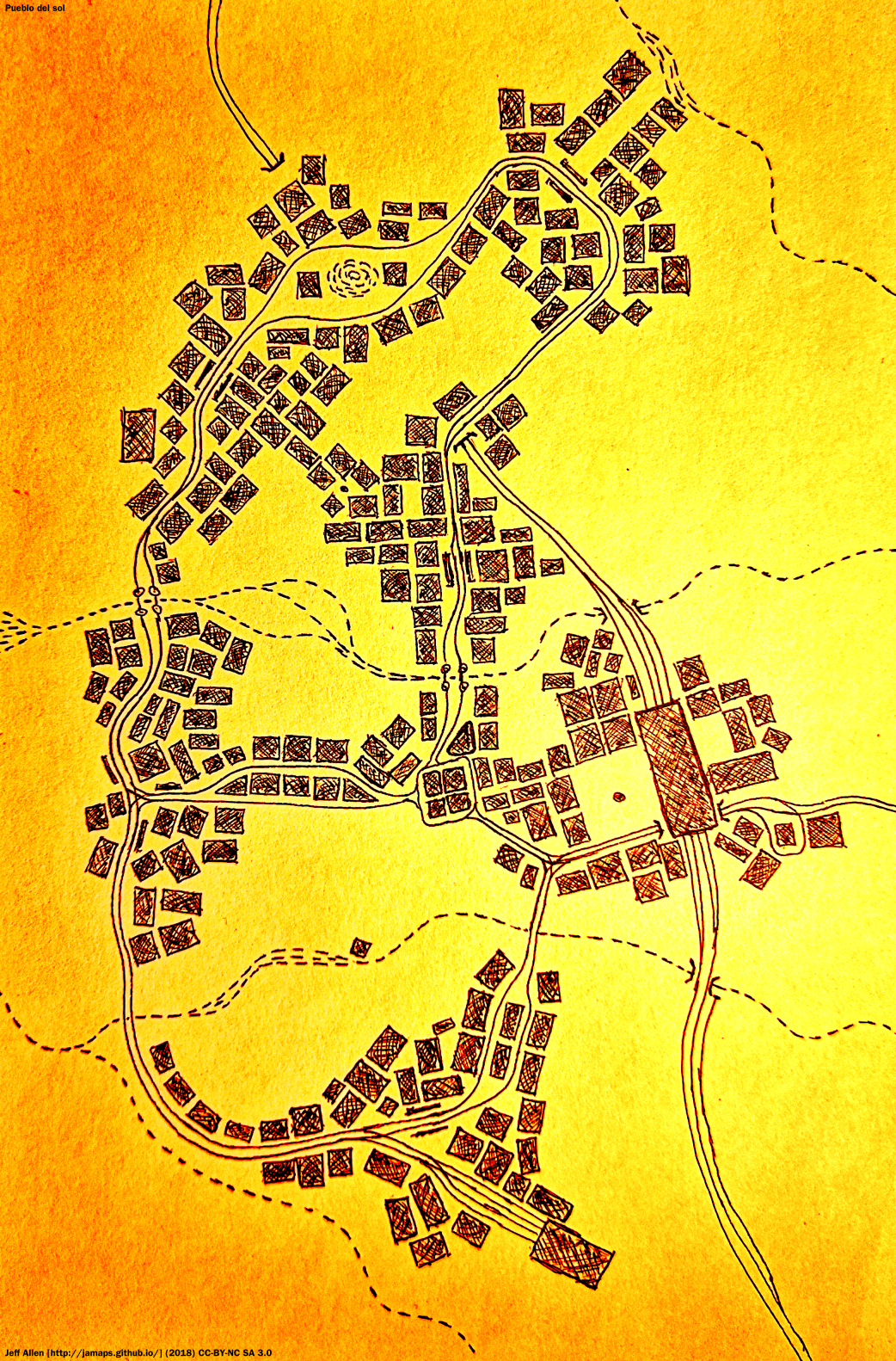
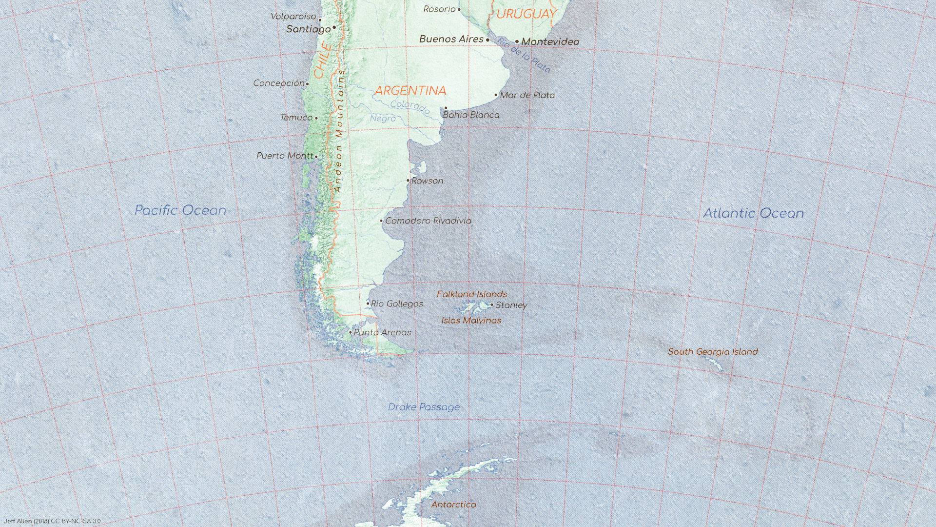
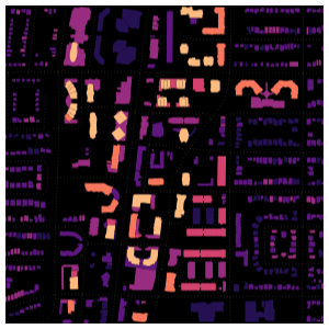
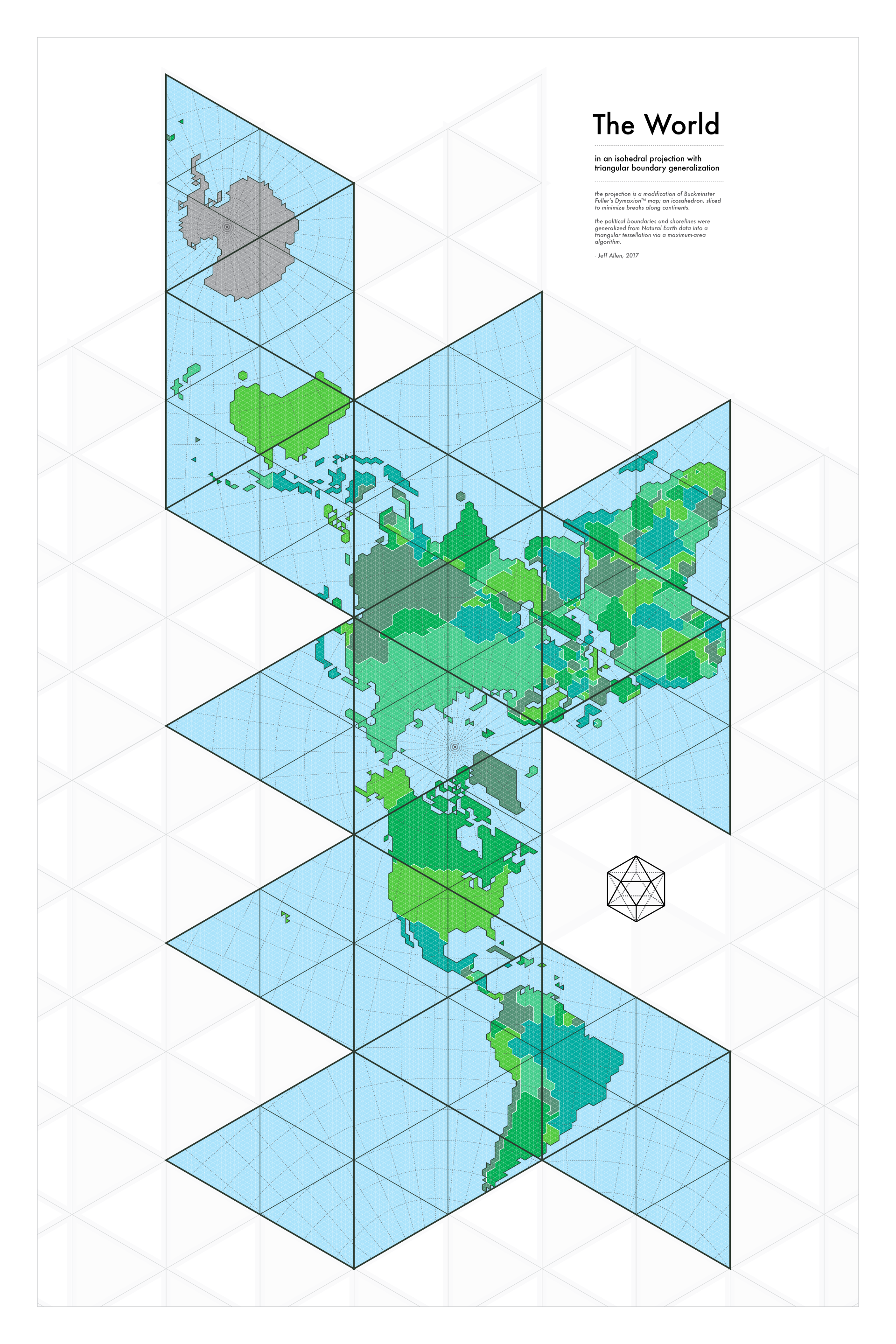
Over the years I've created hundreds of maps and related graphics. These have varied quite a bit in terms of scope, scale, process, and purpose. Here's a grid gallery of a bunch them, ordered somewhat chronologically, dating back to 2012 or so.